Renton Hill, Seattle
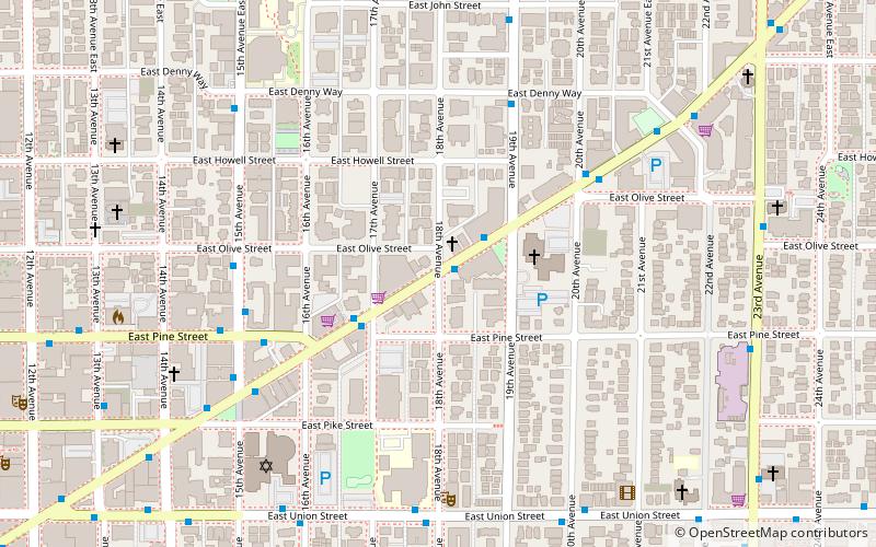
Map
Facts and practical information
Historically, Renton Hill was a neighborhood of Seattle, Washington, United States. Centered roughly at 18th Avenue and Madison Street, it was roughly the southern part of today's Capitol Hill plus a large adjacent section south of Madison Street. It was named after lumberman and merchant Captain William Renton and replaced the earlier name of Second Hill. ()
Coordinates: 47°36'58"N, 122°18'32"W
Address
Central Seattle (Central District)Seattle
ContactAdd
Social media
Add
Getting there by public transportation
Public transportation stops near this location
- Bus
- Trolleybus
- Tram
- Light rail
 Bus
Bus
- Calculate routeE Madison St & 18th Ave 1 min walk
- Calculate routeBroadway & Pine 15 min walk
- Calculate routeCapitol Hill 15 min walk
- Calculate routePioneer Square 36 min walk
- Calculate route3rd Ave & Columbia St 36 min walk
- Calculate routePrefontaine Pl S & Yesler Way 36 min walk
Day trips


Frequently Asked Questions (FAQ)
Which popular attractions are close to Renton Hill?
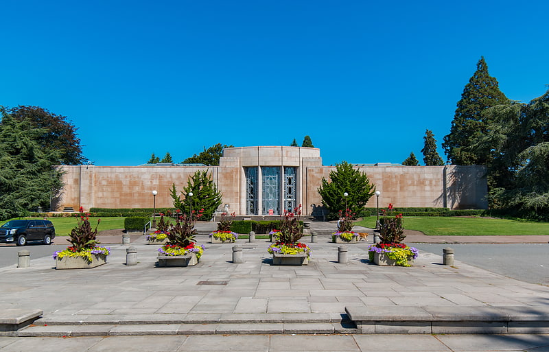
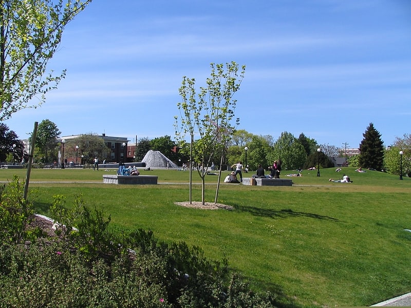
Nearby attractions include Temple De Hirsch Sinai, Seattle (6 min walk), First Methodist Protestant Church of Seattle, Seattle (7 min walk), Madison Valley, Seattle (12 min walk), Cal Anderson Park, Seattle (13 min walk).
How to get to Renton Hill by public transport?
The nearest stations to Renton Hill:
Bus
Tram
Light rail
Trolleybus
Bus
- E Madison St & 18th Ave • Lines: 11 (1 min walk)
Tram
- Broadway & Pine • Lines: First Hill Streetcar (15 min walk)
Light rail
- Capitol Hill • Lines: 1 (15 min walk)
- Pioneer Square • Lines: 1 (36 min walk)
Trolleybus
- 3rd Ave & Columbia St • Lines: 1, 13, 3, 4, 49 (36 min walk)
- Prefontaine Pl S & Yesler Way • Lines: 1, 13, 49 (36 min walk)