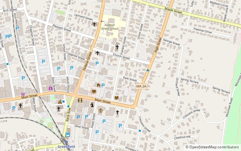
East Main-High Street Historic District, Greenfield
Map

Map

Facts and practical information
The East Main–High Street Historic District is a historic district roughly bounded by Church, High, East Main and Franklin Streets in Greenfield, Massachusetts. It encompasses a predominantly residential area just east of Greenfield's central business district, historically where the town's wealthier residents lived, and features a wide variety of mainly 19th-century residential architecture. The district was listed on the National Register of Historic Places in 1989. ()
Coordinates: 42°35'20"N, 72°35'49"W
Address
Greenfield
ContactAdd
Social media
Add
Day trips
East Main-High Street Historic District – popular in the area (distance from the attraction)
Nearby attractions include: General Pierce Bridge, Poet's Seat Tower, Arts Block, Leavitt–Hovey House.
Frequently Asked Questions (FAQ)
Which popular attractions are close to East Main-High Street Historic District?
Nearby attractions include Leavitt–Hovey House, Greenfield (4 min walk), Arts Block, Greenfield (5 min walk), Poet's Seat Tower, Greenfield (18 min walk).
How to get to East Main-High Street Historic District by public transport?
The nearest stations to East Main-High Street Historic District:
Bus
Train
Bus
- John W. Olver Transit Center (8 min walk)
Train
- Greenfield (8 min walk)


