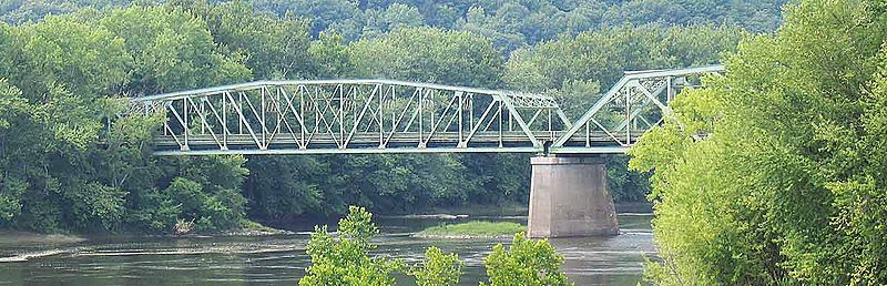
General Pierce Bridge, Greenfield

Gallery (2)
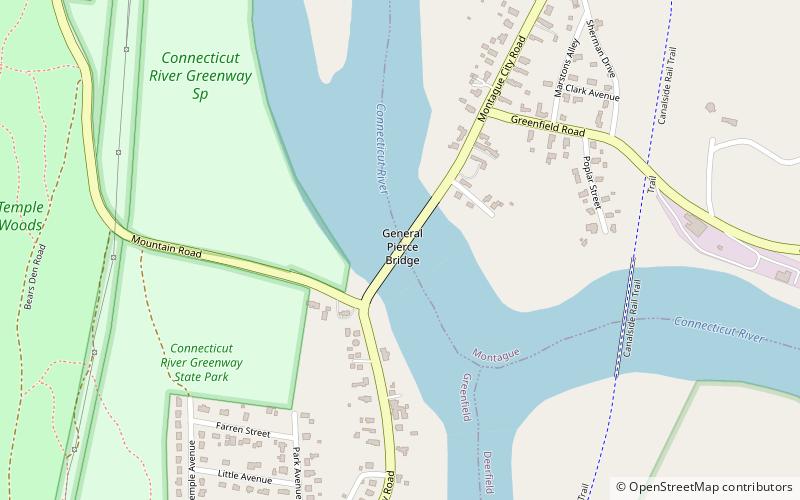
Map
Map
Gallery
Facts and practical information
The General Pierce Bridge is a steel truss road bridge over the Connecticut River between Greenfield, Massachusetts and Montague, Massachusetts carrying Montague City Road. ()
Coordinates: 42°34'50"N, 72°34'47"W
Address
Greenfield
ContactAdd
Social media
Add
Getting there by public transportation
Public transportation stops near this location
- Bus
- Train
 Bus
Bus
- Calculate routeGreenfield 29 min walk
- Calculate routeJohn W. Olver Transit Center 29 min walk
Day trips


Frequently Asked Questions (FAQ)
How to get to General Pierce Bridge by public transport?
The nearest stations to General Pierce Bridge:
Train
Bus
Train
- Greenfield (29 min walk)
Bus
- John W. Olver Transit Center (29 min walk)