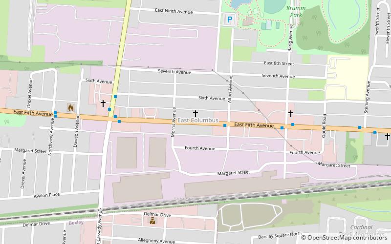
East Columbus, Columbus

Map
Facts and practical information
East Columbus is a very large area in Columbus, Ohio. It can be defined as the area bounded by Interstate 70, Interstate 670, and the eastern city limits that stretch miles outside the city outerbelt. Generally, the East Side is separate from the Near East Side, with the Near East Side being the area closer to Downtown Columbus. ()
Coordinates: 39°59'6"N, 82°55'40"W
Address
East Columbus (East Columbus Gateway)Columbus
ContactAdd
Social media
Add
Day trips
East Columbus – popular in the area (distance from the attraction)
Nearby attractions include: Ohio Governor's Mansion, Agudas Achim, Valley Dale Ballroom, Aircraft bridge.


