Franklin Boulevard Historic District, Pontiac
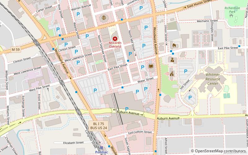
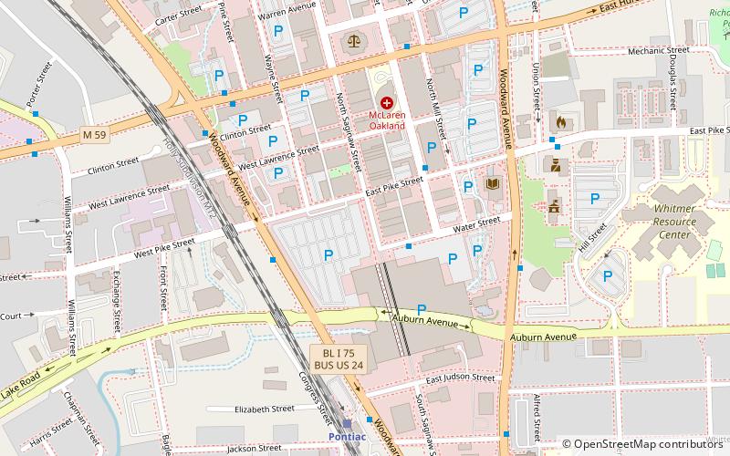
Map

Gallery

Facts and practical information
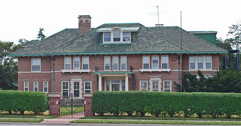
The Franklin Boulevard Historic District is a primarily residential historic district located in Pontiac, Michigan along Franklin Boulevard between West Huron Street and Orchard Lake Avenue. It also contains structures along Mary Day and Henry Clay Avenues between Franklin and Miller, and some structure along West Huron between Franklin and Williams, and along West Lawrence between Williams and the railroad. The district was listed on the National Register of Historic Places in 1983. ()
Coordinates: 42°38'6"N, 83°18'7"W
Address
PontiacPontiac
ContactAdd
Social media
Add
Day trips
Franklin Boulevard Historic District – popular in the area (distance from the attraction)
Nearby attractions include: The Crofoot, Eagle Theater, Erebus Haunted Attraction, St. Vincent de Paul Church.
Frequently Asked Questions (FAQ)
Which popular attractions are close to Franklin Boulevard Historic District?
Nearby attractions include Pontiac Commercial Historic District, Pontiac (13 min walk), Grinnell Brothers Music House, Pontiac (14 min walk), Eagle Theater, Pontiac (14 min walk), The Crofoot, Pontiac (14 min walk).
How to get to Franklin Boulevard Historic District by public transport?
The nearest stations to Franklin Boulevard Historic District:
Bus
Train
Bus
- Huron / Franklin • Lines: 375 (4 min walk)
Train
- Pontiac (14 min walk)


