Pontiac Commercial Historic District, Pontiac

Gallery (5)
Map

Map

Gallery
Facts and practical information
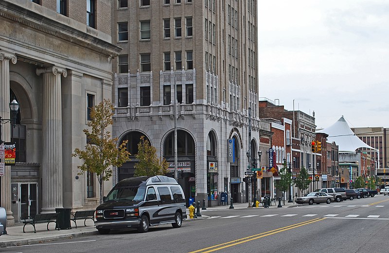
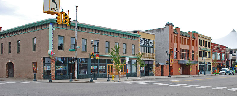
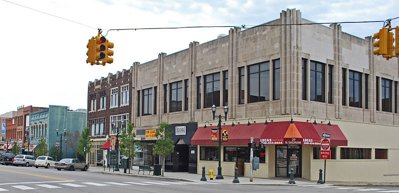
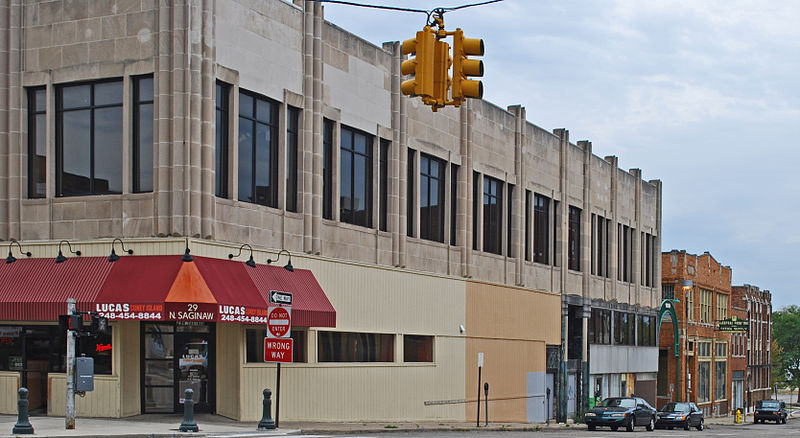
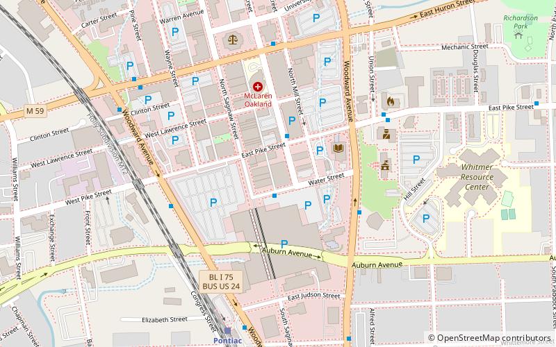
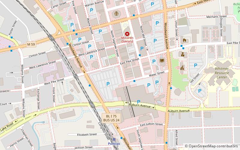
The Pontiac Commercial Historic District is a primarily commercial historic district located roughly along East Huron and South Saginaw Streets, within loop of Wide Track Drive, in Pontiac, Michigan. The core of the district, within the block bounded by Saginaw, Lawrence, Pike, and Wayne Streets, was originally listed on the National Register of Historic Places in 1984. A boundary increase creating the present boundaries was listed in 1989. The district includes the Eagle Theater and the Grinnell Brothers Music House, also listed on the National Register. ()
Coordinates: 42°38'13"N, 83°17'35"W
Address
Pontiac (Downtown Pontiac)Pontiac
ContactAdd
Social media
Add
Getting there by public transportation
Public transportation stops near this location
- Bus
- Train
 Bus
Bus
- Calculate routeWoodward / Pike 3 min walk
- Calculate routePerry / Pike 4 min walk
- Calculate routeWater / Phoenix Center 4 min walk
- Calculate routeHuron / Woodward 4 min walk
- Calculate routePontiac 8 min walk
Day trips


Frequently Asked Questions (FAQ)
Which popular attractions are close to Pontiac Commercial Historic District?
Nearby attractions include Eagle Theater, Pontiac (2 min walk), The Flagstar Strand, Pontiac (2 min walk), Grinnell Brothers Music House, Pontiac (3 min walk), The Crofoot, Pontiac (3 min walk).
How to get to Pontiac Commercial Historic District by public transport?
The nearest stations to Pontiac Commercial Historic District:
Bus
Train
Bus
- Woodward / Pike • Lines: 450 (3 min walk)
- Perry / Pike • Lines: 375, 450, 790, 796 (4 min walk)
Train
- Pontiac (8 min walk)