F. Amadee Bregy School, Philadelphia
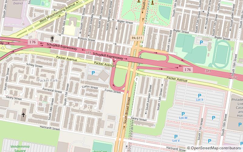
Map
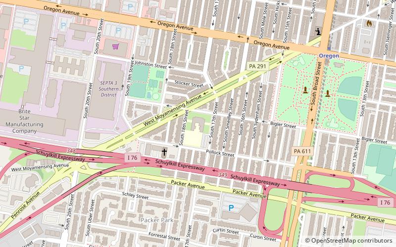
Map

Facts and practical information
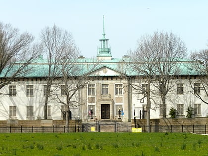
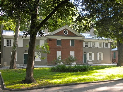
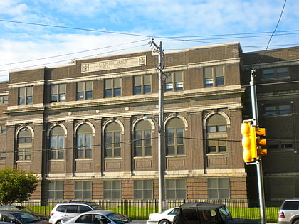
F. Amadee Bregy School is a historic school located in the Marconi Plaza neighborhood of Philadelphia, Pennsylvania. It is part of the School District of Philadelphia. The building was designed by Irwin T. Catharine and built in 1923–1924. It is a three-story, nine bay, brick building on a raised basement in the Colonial Revival-style. It features large stone arched surrounds, double stone cornice, projecting entrance pavilion, and a brick parapet. ()
Coordinates: 39°54'52"N, 75°10'36"W
Address
South Philadelphia (Marconi Plaza)Philadelphia
ContactAdd
Social media
Add
Day trips
F. Amadee Bregy School – popular in the area (distance from the attraction)
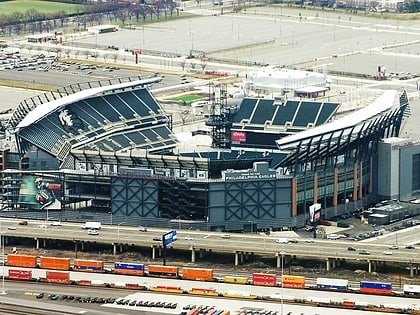
Nearby attractions include: Lincoln Financial Field, Wells Fargo Center, Citizens Bank Park, Walt Whitman.
Frequently Asked Questions (FAQ)
Which popular attractions are close to F. Amadee Bregy School?
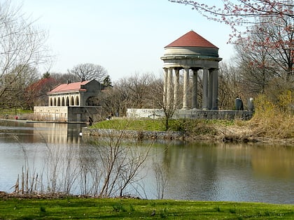
Nearby attractions include Packer Park, Philadelphia (7 min walk), Walt Whitman, Philadelphia (7 min walk), Marconi Plaza, Philadelphia (8 min walk), Southern Boulevard Parkway, Philadelphia (9 min walk).
How to get to F. Amadee Bregy School by public transport?
The nearest stations to F. Amadee Bregy School:
Metro
Bus
Metro
- Oregon • Lines: Bsl (9 min walk)
- Nrg • Lines: Bsl (16 min walk)
Bus
- 21331 • Lines: 17 (26 min walk)
 SEPTA Regional Rail