John A. Creighton Boulevard, Omaha

Map
Facts and practical information
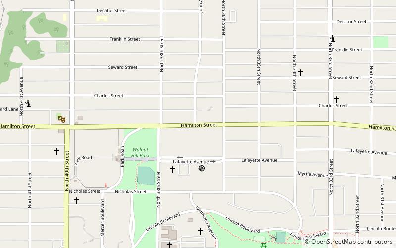
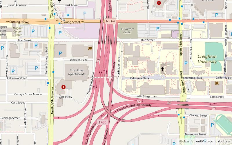
John A. Creighton Boulevard, is a boulevard-type north–south roadway in north Omaha, Nebraska. Running through the Adams Park neighborhood, the boulevard runs from Hamilton Avenue to Bedford Street. It originally ran from Lincoln Boulevard to Paxton Boulevard, ending in the Orchard Hill neighborhood. ()
Coordinates: 41°16'20"N, 95°58'2"W
Address
Prospect HillOmaha
ContactAdd
Social media
Add
Day trips
John A. Creighton Boulevard – popular in the area (distance from the attraction)
Nearby attractions include: Jewell Building, Joslyn Art Museum, Joslyn Castle, St. Cecilia Cathedral.
Frequently Asked Questions (FAQ)
Which popular attractions are close to John A. Creighton Boulevard?
Nearby attractions include Nebraska Zen Center, Omaha (3 min walk), Bemis Park Landmark Heritage District, Omaha (5 min walk), Lincoln Boulevard, Omaha (8 min walk), Orchard Hill, Omaha (9 min walk).
How to get to John A. Creighton Boulevard by public transport?
The nearest stations to John A. Creighton Boulevard:
Bus
Bus
- 24th & Cuming NW • Lines: 24 (28 min walk)
- Park Avenue & Douglas • Lines: 2 (29 min walk)


