Pella Lutheran Church, Omaha
Map

Map

Facts and practical information
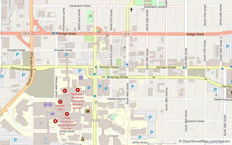
Pella Lutheran Church was located at 303 South 41st Street between Farnam and Harney Streets in midtown Omaha, Nebraska, between Nebraska Medical Center and Mutual of Omaha's Midtown Crossing. Pella was affiliated with the Evangelical Lutheran Church in America. The church closed in 2014. It has been renovated and reopened as a wedding and event venue. ()
Coordinates: 41°15'27"N, 95°58'27"W
Day trips
Pella Lutheran Church – popular in the area (distance from the attraction)
Nearby attractions include: Joslyn Castle, St. Cecilia Cathedral, First Unitarian Church of Omaha, Turner Park.
Frequently Asked Questions (FAQ)
Which popular attractions are close to Pella Lutheran Church?
Nearby attractions include West Farnam Apartments, Omaha (6 min walk), West Farnam neighborhood, Omaha (8 min walk), Joslyn Castle, Omaha (8 min walk), Charles D. McLaughlin House, Omaha (9 min walk).
How to get to Pella Lutheran Church by public transport?
The nearest stations to Pella Lutheran Church:
Bus
Bus
- 50th & Dodge • Lines: 2 (23 min walk)
- Park Avenue & Douglas • Lines: 2 (25 min walk)


