Trek Zone

Cuyahoga Falls City School District, Cuyahoga Falls
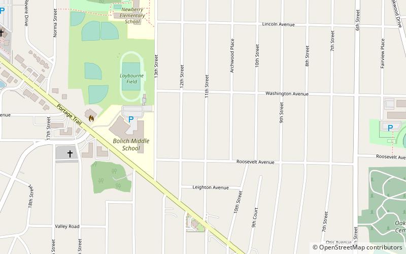
#7 among attractions in Cuyahoga Falls

Neighbourhood
Cuyahoga Falls City School District location map
Map

Facts and practical information

Coordinates: 41°8'44"N, 81°29'48"W
Address

State Portage (Mud Brook)Cuyahoga Falls United States

Contact
Social media
Add
Day trips

Cuyahoga Falls City School District – popular in the area (distance from the attraction)

Nearby attractions include: Chapel Hill Mall, Stan Hywet Hall & Gardens, John S. Knight Center, Blossom Music Center.

  • chapel hill mall akron2.6 miSE
  • stan hywet hall gardens akron3.3 miSW
  • john s knight center akron4.5 miS
  • blossom music center cuyahoga valley national park4.6 miNW
  • water works family aquatic center cuyahoga falls2.1 miE
  • mary campbell cave cuyahoga falls1.5 miS
  • all america bridge akron3.8 miS
  • wesley temple ame church akron location map
    4.2 miS
  • cathedral of tomorrow cuyahoga falls location map
    0.7 miW
  • f a seiberling nature realm akron4.1 miW
  • first congregational church of cuyahoga falls1.1 miSE

Frequently Asked Questions (FAQ)

Which popular attractions are close to Cuyahoga Falls City School District?

Nearby attractions include Oakwood Cemetery Chapel, Cuyahoga Falls (13 min walk), Cathedral of Tomorrow, Cuyahoga Falls (18 min walk).

Where to next? Visit ohio Ohio region page or discover the top tourist attractions in United States.