Mortimer Place Historic District, Huntington
Facts and practical information
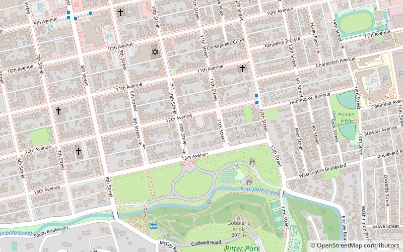
Mortimer Place Historic District is a national historic district located at Huntington, Cabell County, West Virginia. The district encompasses 21 contributing buildings and 1 contributing structure. The district is composed entirely of early 20th century residences, the majority of which are Colonial Revival and Tudor Revivalstyle. They were built between about 1915 and 1930, and feature sloping roofs, parapet walls, and wooden brackets and moldings. The residential development was designed and built by architect Richard Mortimer Bates, Jr. The Mortimer Place Historic District was listed on the National Register of Historic Places in 2001. ()
SouthsideHuntington
- Bus
- Train
 Bus
Bus
- Calculate route12th Avenue & 12th Street Outbound 4 min walk
- Calculate route9th Avenue and 8th Street Inbound 11 min walk
- Calculate routeHuntington 12 min walk
Mortimer Place Historic District – popular in the area (distance from the attraction)
Nearby attractions include: Joan C. Edwards Stadium, Huntington Museum of Art, Keith-Albee Theatre, Cabell County Courthouse.


Frequently Asked Questions (FAQ)
Which popular attractions are close to Mortimer Place Historic District?
How to get to Mortimer Place Historic District by public transport?
Bus
- 12th Avenue & 12th Street Outbound • Lines: 2 (4 min walk)
- 9th Avenue and 8th Street Inbound • Lines: 4 (11 min walk)
Train
- Huntington (12 min walk)