Roanoke Park Historic District, Raleigh
Map

Map

Facts and practical information
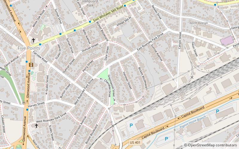
The Roanoke Park Historic District a national historic district located at Raleigh, North Carolina. It is one of the city's historic Five Points neighborhoods and encompasses 446 contributing buildings and 1 contributing site. It is situated southeast of the Five Points intersection of Glenwood Avenue and Fairview and Whitaker Mill Roads. Roanoke Park is composed of six separate plats, filed from 1913 to 1926, and is roughly shaped like a diamond. ()
Coordinates: 35°48'9"N, 78°38'22"W
Address
Five Points (Roanoke Park)Raleigh
ContactAdd
Social media
Add
Day trips
Roanoke Park Historic District – popular in the area (distance from the attraction)
Nearby attractions include: Mordecai House, Historic Oakwood Cemetery, Oakwood Dog Park, Haywood Hall.
Frequently Asked Questions (FAQ)
Which popular attractions are close to Roanoke Park Historic District?
Nearby attractions include Light+Time Tower, Raleigh (8 min walk), Vanguard Park Historic District, Raleigh (8 min walk), Hayes Barton Historic District, Raleigh (11 min walk), Mary Elizabeth Hospital, Raleigh (18 min walk).
How to get to Roanoke Park Historic District by public transport?
The nearest stations to Roanoke Park Historic District:
Bus
Bus
- Whitaker Mill Rd at McCarthy St • Lines: 2 (7 min walk)


