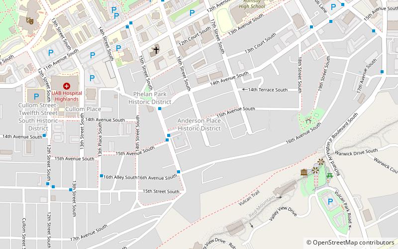
Anderson Place Historic District, Birmingham
Map

Map

Facts and practical information
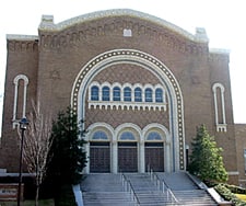
The Anderson Place Historic District, in Birmingham, Alabama, is a residential historic district which was listed on the National Register of Historic Places in 1986, and the listing was expanded in 1991. The houses date from 1907 to 1912 and include Tudor Revival, Queen Anne, and Bungalow/Craftsman architecture. ()
Coordinates: 33°29'36"N, 86°48'2"W
Address
Five Points SouthBirmingham
ContactAdd
Social media
Add
Day trips
Anderson Place Historic District – popular in the area (distance from the attraction)
Nearby attractions include: Vulcan statue, Regions Field, Birmingham Zoo, Third Presbyterian Church.
Frequently Asked Questions (FAQ)
Which popular attractions are close to Anderson Place Historic District?
Nearby attractions include Vulcan statue, Birmingham (9 min walk), St. Andrew's Episcopal Church, Birmingham (12 min walk), Alabama Museum of Health Sciences, Birmingham (12 min walk), Alys Robinson Stephens Performing Arts Center, Birmingham (13 min walk).
How to get to Anderson Place Historic District by public transport?
The nearest stations to Anderson Place Historic District:
Bus
Bus
- NE Corner of 15th St S & 15th Av S • Lines: 14 (3 min walk)
- SE Corner of 15th St S & 13th Av S • Lines: 14 (3 min walk)


