Appleton Lock 4 Historic District, Appleton
Map

Map

Facts and practical information
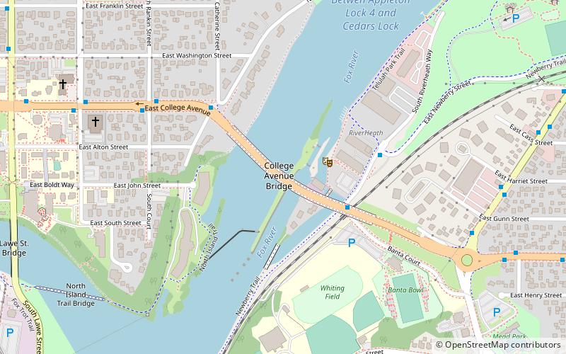
Appleton Lock 4 Historic District is a historic district containing a 1907-built waterway lock in Appleton, Wisconsin. It was added to the National Register of Historic Places in 1993 for its significance in engineering and transport. ()
Coordinates: 44°15'37"N, 88°23'20"W
Address
Appleton
ContactAdd
Social media
Add
Day trips
Appleton Lock 4 Historic District – popular in the area (distance from the attraction)
Nearby attractions include: St. Mary's Parish, The History Museum at the Castle, Fox Cities Performing Arts Center, All Saints Episcopal Church.
Frequently Asked Questions (FAQ)
Which popular attractions are close to Appleton Lock 4 Historic District?
Nearby attractions include Lawrence University, Appleton (8 min walk), Seeley G. Mudd Library, Appleton (12 min walk), All Saints Episcopal Church, Appleton (16 min walk), The History Museum at the Castle, Appleton (17 min walk).
How to get to Appleton Lock 4 Historic District by public transport?
The nearest stations to Appleton Lock 4 Historic District:
Bus
Bus
- Banta & Riverheath • Lines: 9, T (3 min walk)
- Riverhealth & Newberry • Lines: T (4 min walk)


