Burnham Pavilions, Chicago
Map
Facts and practical information
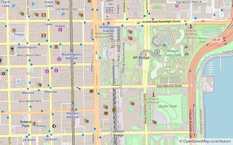
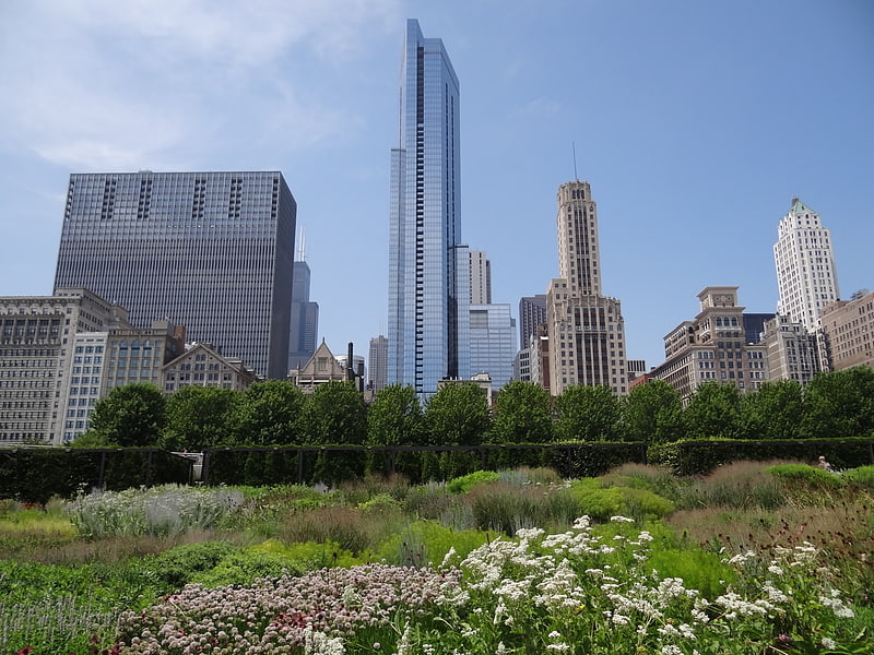
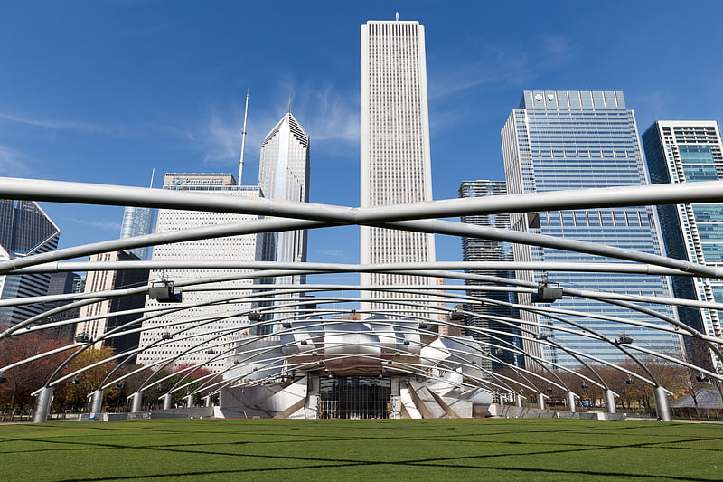
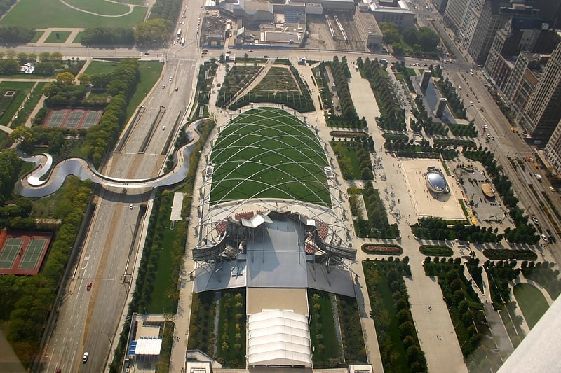
The Burnham Pavilions were public sculptures by Zaha Hadid and Ben van Berkel in Millennium Park, which were located in the Loop community area of Chicago, Illinois. Both pavilions were located in the Chase Promenade South. Their purpose was to commemorate the 100th anniversary of Daniel Burnham's Plan of Chicago, and symbolize the city's continued pursuit of the Plan's architectural vision with contemporary architecture and planning. The sculptures were privately funded and reside in Millennium Park. The pavilions were designed to be temporary structures. ()
Coordinates: 41°52'54"N, 87°37'22"W
Address
Downtown (The Loop)Chicago
ContactAdd
Social media
Add
Getting there by public transportation
Public transportation stops near this location
- Metro
- Bus
- Train
 Metro
Metro
- Calculate routeMichigan & Madison 3 min walk
- Calculate routeMichigan & Monroe 3 min walk
- Calculate routeMonroe & Wabash 4 min walk
- Calculate routeMichigan & Washington 4 min walk
- Calculate routeWashington/Wabash 5 min walk
- Calculate routeAdams/Wabash 6 min walk
- Calculate routeMonroe 8 min walk
- Calculate routeWashington 10 min walk
- Calculate routeMillennium Station 5 min walk
- Calculate routeVan Buren Street 9 min walk
- Calculate routeLaSalle Street Station 17 min walk
- Calculate routeChicago Union Station 22 min walk
Maps Rail "L"
Rail "L"Day trips

Frequently Asked Questions (FAQ)
Which popular attractions are close to Burnham Pavilions?
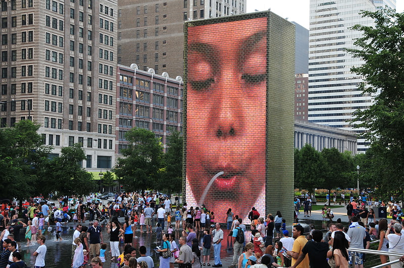
Nearby attractions include Boeing Galleries, Chicago (1 min walk), Nichols Bridgeway, Chicago (2 min walk), Crown Fountain, Chicago (2 min walk), Lurie Garden, Chicago (2 min walk).
How to get to Burnham Pavilions by public transport?
The nearest stations to Burnham Pavilions:
Bus
Metro
Train
Bus
- Michigan & Madison • Lines: 143, 26, 3, 4, 6, (N) N4 (3 min walk)
- Michigan & Monroe • Lines: 143, 147, 151, 26, 3, 4, 6, 850, 851, 855, J14, (N) N4 (3 min walk)
Metro
- Washington/Wabash • Lines: Brown, Green, Orange, Pink, Purple (5 min walk)
- Adams/Wabash • Lines: Brown, Green, Orange, Pink, Purple (6 min walk)
Train
- Millennium Station (5 min walk)
- Van Buren Street (9 min walk)