Sabina Mattfeldt, Baltimore
Map

Map

Facts and practical information
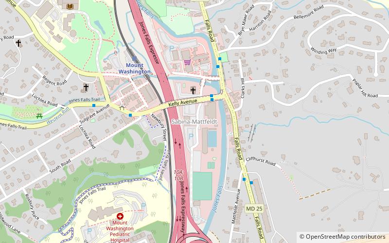
Sabina Mattfeldt is a neighborhood in the North District of Baltimore, located beside the Jones Falls, between the neighborhoods of Mount Washington and Poplar Hill. Its name comes from the two streets, Sabina Avenue and Mattfeldt Avenue, where most of the neighborhood's homes are located. ()
Coordinates: 39°21'59"N, 76°38'58"W
Address
Northern Baltimore (Sabina Mattfeldt)Baltimore
ContactAdd
Social media
Add
Day trips
Sabina Mattfeldt – popular in the area (distance from the attraction)
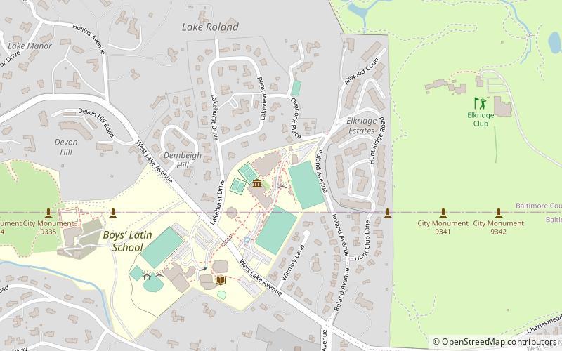
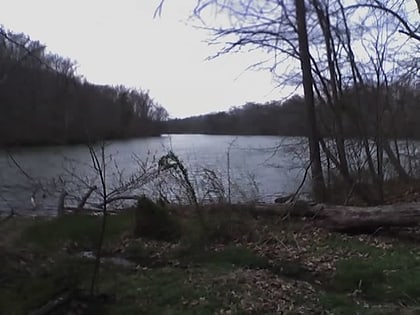
Nearby attractions include: Boys' Latin School of Maryland, Cylburn Arboretum, Lake Roland, Mount Washington Arboretum.
Frequently Asked Questions (FAQ)
Which popular attractions are close to Sabina Mattfeldt?
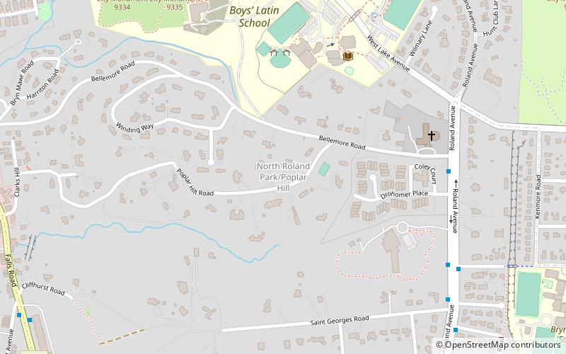
Nearby attractions include Mount Washington Arboretum, Baltimore (9 min walk), New North Roland Park–Poplar Hill, Baltimore (15 min walk), Boys' Latin School of Maryland, Baltimore (23 min walk), Lake Roland, Towson (24 min walk).
How to get to Sabina Mattfeldt by public transport?
The nearest stations to Sabina Mattfeldt:
Bus
Light rail
Bus
- Mount Washington Loop • Lines: 33 (5 min walk)
- Falls Road & Northern Parkway Far-side Northbound • Lines: 33, 94 (9 min walk)
Light rail
- Mount Washington • Lines: Lr (6 min walk)
- Falls Road • Lines: Lr (19 min walk)


