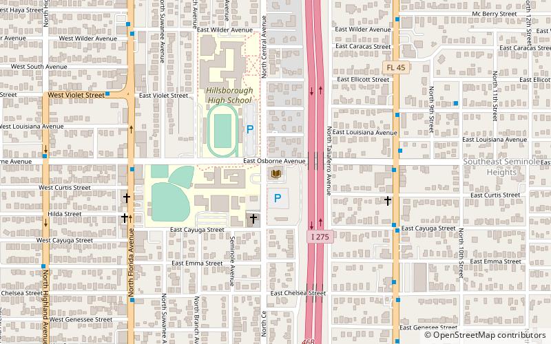
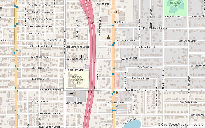
South Seminole Heights, Tampa
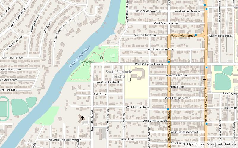
Map
Facts and practical information
South Seminole Heights is a neighborhood within the city limits of Tampa, Florida. As of the 2000 census the neighborhood had a population of 3,177. The ZIP Code serving the area is 33603. ()
Coordinates: 27°59'17"N, 82°27'56"W
Address
Northwest Tampa (South Seminole Heights)Tampa
ContactAdd
Social media
Add
Getting there by public transportation
Public transportation stops near this location
- Bus
 Bus
Bus
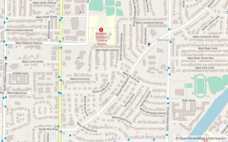
- Calculate routeHighland Avenue @ Osborne Avenue 6 min walk
- Calculate routeViolet Street @ Florida Avenue 10 min walk
- Calculate routeFlorida Avenue @ Osborne Avenue 10 min walk
Day trips


Frequently Asked Questions (FAQ)
Which popular attractions are close to South Seminole Heights?
Nearby attractions include Rivercrest, Tampa (11 min walk), Seminole Heights Branch Library, Tampa (17 min walk), Seminole Heights Residential District, Tampa (20 min walk), Riverside Heights, Tampa (23 min walk).
How to get to South Seminole Heights by public transport?
The nearest stations to South Seminole Heights:
Bus
Bus
- Highland Avenue @ Osborne Avenue • Lines: 1 (6 min walk)
- Violet Street @ Florida Avenue • Lines: 1 (10 min walk)