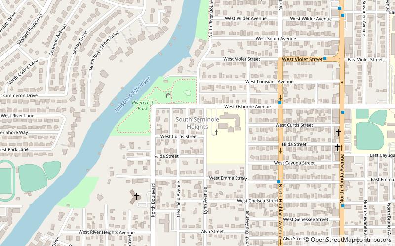
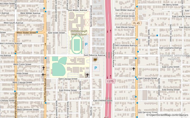
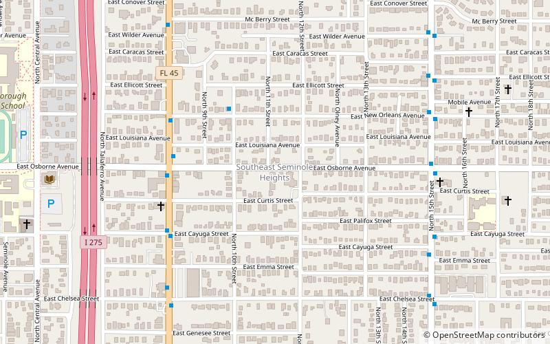
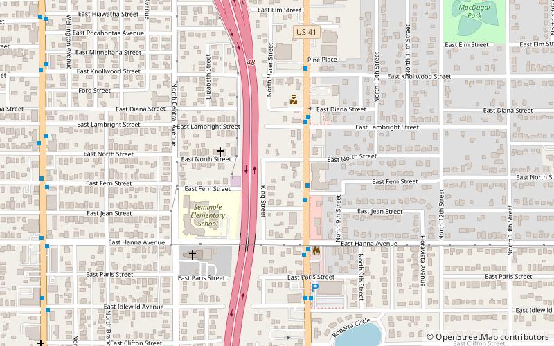
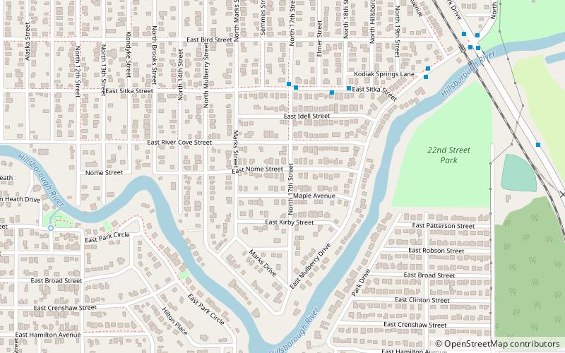
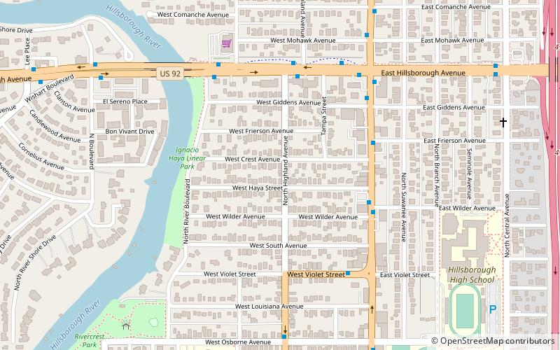
Seminole Heights, Tampa
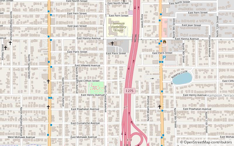
Map
Facts and practical information
Seminole Heights is a historic neighborhood and district located in central Tampa. It includes many early 20th century bungalow homes and historic buildings. It was an early residential area of Tampa connected by streetcar. The area had an economic downturn in the late 20th century marked by increased crime, but has since seen a resurgence with new restaurants, brew pubs and independent businesses opening up. The neighborhood's historic homes, eclectic shops and gourmet restaurants are an increasing draw. ()
Coordinates: 28°0'4"N, 82°27'16"W
Getting there by public transportation
Public transportation stops near this location
- Bus
 Bus
Bus
- Calculate routeNebraska Avenue @ Idlewild Avenue 6 min walk
Day trips


Frequently Asked Questions (FAQ)
Which popular attractions are close to Seminole Heights?
Nearby attractions include Seminole Heights United Methodist Church, Tampa (4 min walk), Old Seminole Heights, Tampa (9 min walk), Seminole Heights Residential District, Tampa (11 min walk), Hampton Terrace Historic District, Tampa (13 min walk).
How to get to Seminole Heights by public transport?
The nearest stations to Seminole Heights:
Bus
Bus
- Nebraska Avenue @ Idlewild Avenue • Lines: MetroRapid (6 min walk)