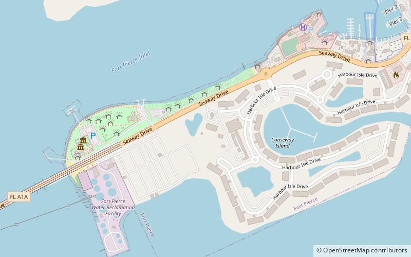
Smithsonian Marine Station at Fort Pierce, Fort Pierce
Map
Facts and practical information
The Smithsonian Marine Station at Fort Pierce is a research center that specializes in Floridian marine ecosystems and lifeforms. The research is focused mostly on the Indian River Lagoon and also on the offshore waters of Florida's central and east coast. The first director of the station was Mary Rice, who was also instrumental in its founding. ()
Coordinates: 27°27'37"N, 80°18'41"W
Address
Hutchinson Island South (South Beach)Fort Pierce
ContactAdd
Social media
Add
Getting there by public transportation
Public transportation stops near this location
- Bus
 Bus
Bus
- Calculate route707 North 7th Street 30 min walk
- Calculate routeBenton Building 31 min walk
- Calculate routeFort Pierce Intermodal 34 min walk
- Calculate routeBeth Ryder Intermodal Transit Facility 34 min walk
Day trips


Frequently Asked Questions (FAQ)
Which popular attractions are close to Smithsonian Marine Station at Fort Pierce?
Nearby attractions include St. Lucie County Aquarium featuring the Smithsonian Marine Ecosystems Exhibit, Fort Pierce (5 min walk), St. Lucie County Aquarium, Fort Pierce (5 min walk), St. Lucie County Regional History Center, Fort Pierce (23 min walk).
How to get to Smithsonian Marine Station at Fort Pierce by public transport?
The nearest stations to Smithsonian Marine Station at Fort Pierce:
Bus
Bus
- 707 North 7th Street • Lines: 2 (30 min walk)
- Benton Building • Lines: 1 (31 min walk)