Springfield/Belmont, Newark
Map
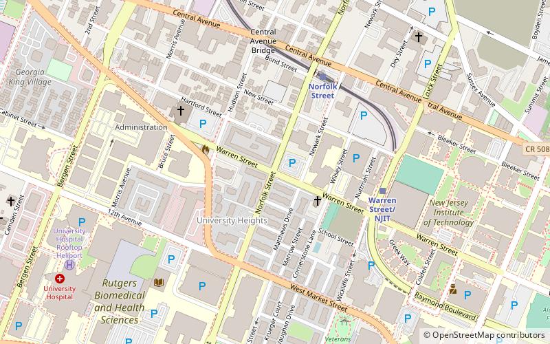
Map

Facts and practical information
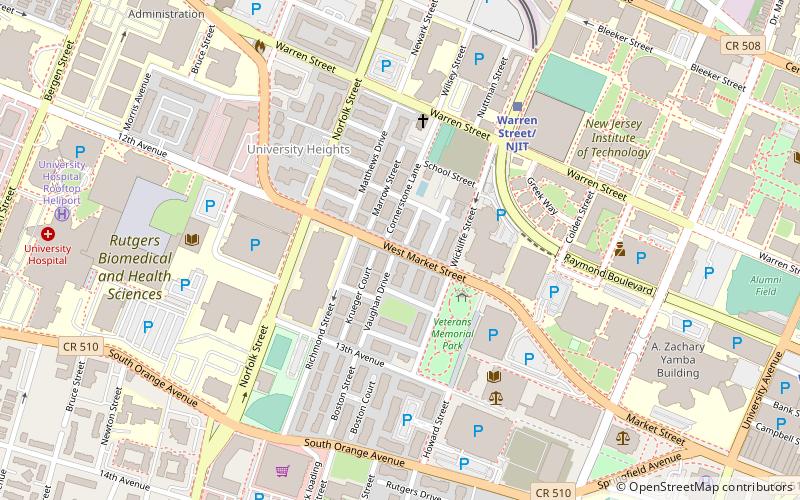
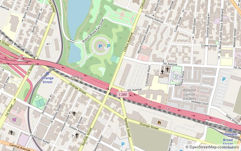
Springfield/Belmont is a neighborhood in the city of Newark in Essex County, New Jersey, United States. Part of the Central Ward, it is unofficially bounded by South Orange Avenue in the north, Avon Avenue in the south, Martin Luther King Boulevard and University Avenue on the east, and Bergen Street in the west. ()
Coordinates: 40°44'35"N, 74°11'4"W
Address
University HeightsNewark
ContactAdd
Social media
Add
Day trips
Springfield/Belmont – popular in the area (distance from the attraction)
Nearby attractions include: The Newark Museum of Art, Bethany Baptist Church, Newark Abbey, Pro-Cathedral of Saint Patrick in Newark.
Frequently Asked Questions (FAQ)
Which popular attractions are close to Springfield/Belmont?
Nearby attractions include St. Joseph's Roman Catholic Church Rectory and School, Newark (3 min walk), Bethany Baptist Church, Newark (6 min walk), World AIDS Museum and Educational Center, Newark (7 min walk), Weston Museum, Newark (8 min walk).
How to get to Springfield/Belmont by public transport?
The nearest stations to Springfield/Belmont:
Light rail
Train
Bus
Metro
Light rail
- Norfolk Street • Lines: Nlr (5 min walk)
- Warren Street/NJIT • Lines: Nlr (5 min walk)
Train
- Newark Broad Street (19 min walk)
- Newark Penn Station (32 min walk)
Bus
- Broad St & Market St • Lines: 62 (22 min walk)
- Newark Penn Bus Terminal (32 min walk)
Metro
- Newark Penn Station • Lines: Nwk–Wtc (32 min walk)


