Allapattah, Miami

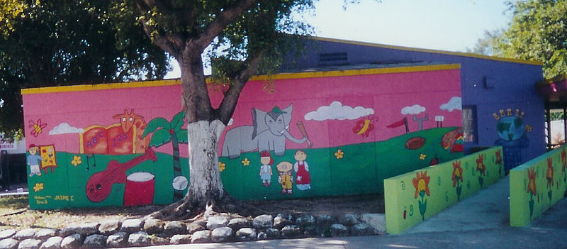
Gallery (2)
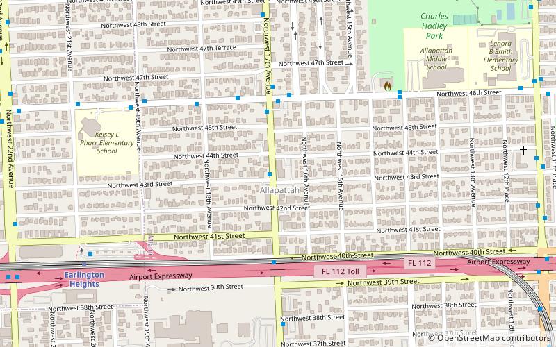
Map
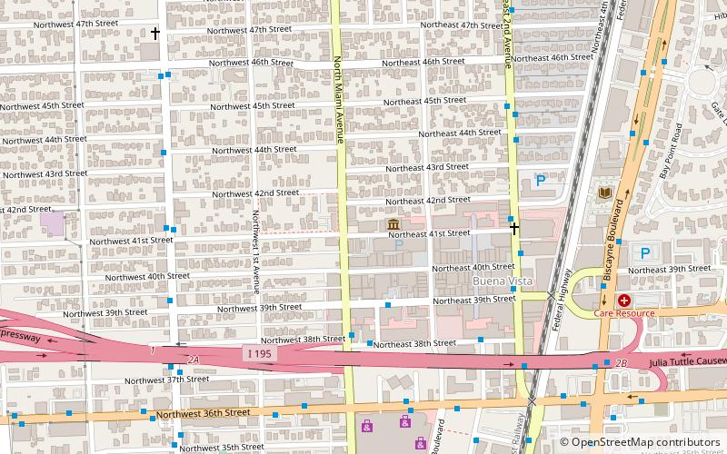
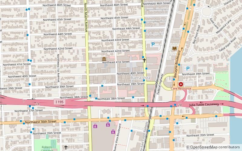
Map
Gallery
Facts and practical information
Allapattah is a neighborhood, located mostly in the city of Miami, Florida, and partly in metropolitan Miami, United States. As of May 2011, the county-owned portion of Allapattah, from State Road 9 to LeJeune Road, is being annexed by the city proper. ()
Getting there by public transportation
Public transportation stops near this location
- Metro
- Bus
 Metro
Metro
- Calculate routeNorthwest 17th Avenue & Northwest 43rd Street 1 min walk
- Calculate routeNw 46 St@Nw 17 Av 4 min walk
- Calculate routeEarlington Heights 11 min walk
- Calculate routeAllapattah 18 min walk
- Calculate routeBrownsville 30 min walk
Day trips


Frequently Asked Questions (FAQ)
How to get to Allapattah by public transport?
The nearest stations to Allapattah:
Bus
Metro
Bus
- Northwest 17th Avenue & Northwest 43rd Street • Lines: 17 (1 min walk)
- Nw 46 St@Nw 17 Av • Lines: 46 (4 min walk)
Metro
- Earlington Heights • Lines: Green, Orange (11 min walk)
- Allapattah • Lines: Green, Orange (18 min walk)