Peebles' Corner Historic District, Cincinnati

Gallery (1)
Map
Map
Facts and practical information
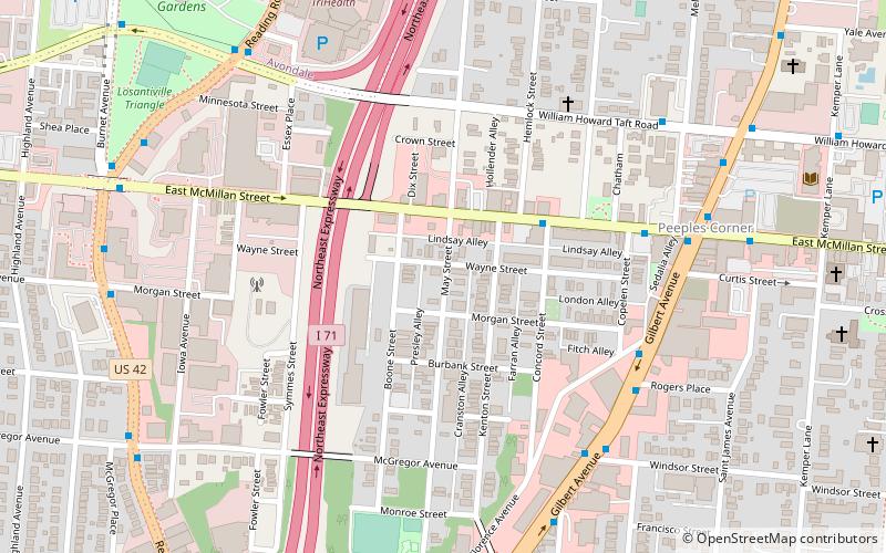
Peebles' Corner Historic District is a registered historic district surrounding the intersection of East McMillan Street and Gilbert Avenue in the neighborhood of Walnut Hills in Cincinnati, Ohio, United States. It was listed in the National Register of Historic Places on November 14, 1985. ()
Coordinates: 39°7'31"N, 84°29'43"W
Address
Walnut HillsCincinnati
ContactAdd
Social media
Add
Getting there by public transportation
Public transportation stops near this location
- Bus
- Tram
 Bus
Bus
- Calculate routeMcMillan St & Concord St 4 min walk
- Calculate routeGilbert Ave & Florence Ave 6 min walk
- Calculate routeHanke Exchange 37 min walk
- Calculate route12th & Vine 40 min walk
- Calculate routeWashington Park 42 min walk
Day trips


Frequently Asked Questions (FAQ)
Which popular attractions are close to Peebles' Corner Historic District?
Nearby attractions include American Sign Museum, Cincinnati (6 min walk), First Universalist Church, Cincinnati (6 min walk), Essex Studios, Cincinnati (7 min walk), Cummins School, Cincinnati (8 min walk).
How to get to Peebles' Corner Historic District by public transport?
The nearest stations to Peebles' Corner Historic District:
Bus
Tram
Bus
- McMillan St & Concord St • Lines: 31 (4 min walk)
- Gilbert Ave & Florence Ave • Lines: 11, 4 (6 min walk)
Tram
- Hanke Exchange • Lines: 100 (37 min walk)
- 12th & Vine • Lines: 100 (40 min walk)