Skid Row City Limits Mural, Los Angeles
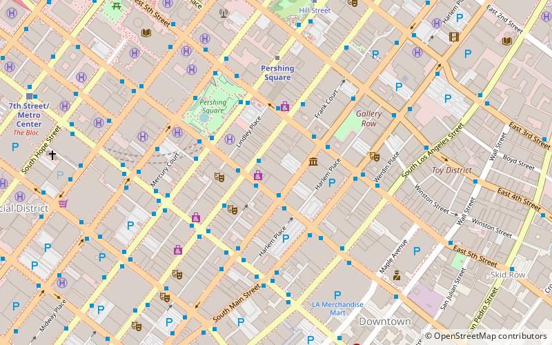
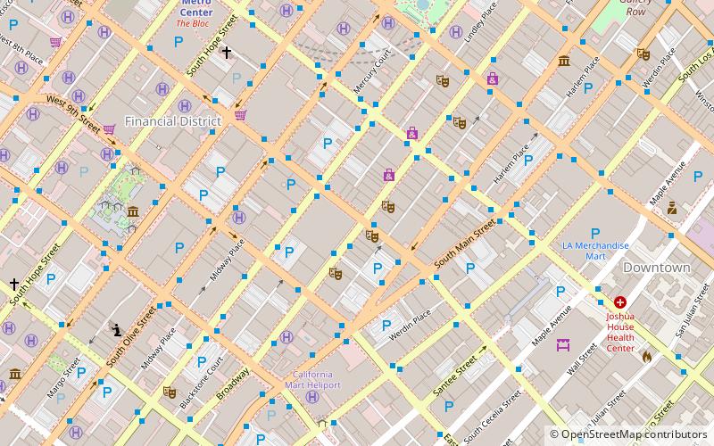
Map
Facts and practical information
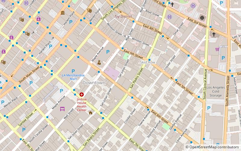
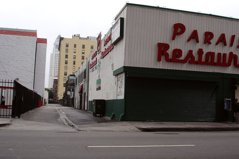
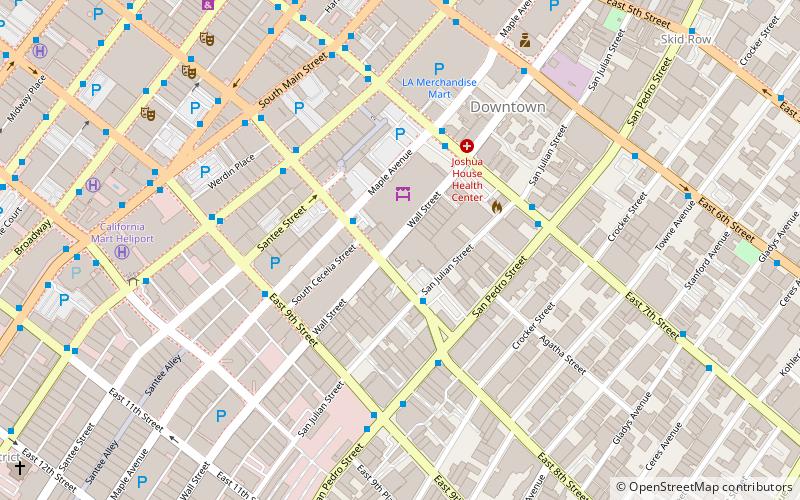
The Skid Row City Limit Mural is an 18-by-50-foot mural displayed on San Julian Street in Los Angeles, California. It features a map demarcating Skid Row's legally recognized boundaries alongside an official-looking sign, replete with city seal, reading "Skid Row City Limit, Population: Too Many." This is the initial installation of a mural project that will eventually cover the whole wall on the San Julian block just north of 6th Street. ()
Coordinates: 34°2'36"N, 118°14'45"W
Address
Central Los Angeles (Downtown Los Angeles)Los Angeles
ContactAdd
Social media
Add
Getting there by public transportation
Public transportation stops near this location
- Metro
- Bus
- Light rail
- Train
 Metro
Metro
- Calculate routeBroadway & 6th 11 min walk
- Calculate routePershing Square 14 min walk
- Calculate routeCivic Center/Grand Park 21 min walk
- Calculate route7th Street/Metro Center 22 min walk
- Calculate route7th Street/Metro Center 22 min walk
- Calculate routeUnion Station 28 min walk
- Calculate routePico/Aliso 30 min walk
- Calculate routeLos Angeles Union Station 28 min walk
Maps Metro & Regional Rail
Metro & Regional RailDay trips
Skid Row City Limits Mural – popular in the area (distance from the attraction)
Nearby attractions include: The Last Bookstore, The Smell, Bradbury Building, Los Angeles Flower District.


Frequently Asked Questions (FAQ)
Which popular attractions are close to Skid Row City Limits Mural?
Nearby attractions include Skid Row, Los Angeles (4 min walk), Toy District, Los Angeles (7 min walk), A.G. Bartlett Building, Los Angeles (7 min walk), Garment Capitol Building, Los Angeles (8 min walk).
How to get to Skid Row City Limits Mural by public transport?
The nearest stations to Skid Row City Limits Mural:
Bus
Metro
Light rail
Train
Bus
- Broadway & 6th • Lines: 4 (11 min walk)
Metro
- Pershing Square • Lines: B, D (14 min walk)
- Civic Center/Grand Park • Lines: B, D (21 min walk)
Light rail
- 7th Street/Metro Center • Lines: A, E (22 min walk)
- Union Station • Lines: L (28 min walk)
Train
- Los Angeles Union Station (28 min walk)