Central Eastside, Portland
Map
Facts and practical information
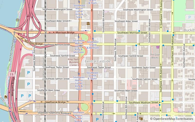
The Central Eastside is a subdistrict of Portland, Oregon, United States, situated in Southeast Portland along the east bank of the Willamette River. It makes up a part of Portland's Central City district. ()
Coordinates: 45°30'56"N, 122°39'37"W
Address
Hawthorne District (Buckman)Portland
ContactAdd
Social media
Add
Getting there by public transportation
Public transportation stops near this location
- Bus
- Tram
- Light rail
- Train
 Bus
Bus
- Calculate routeSoutheast Grand & Taylor 2 min walk
- Calculate routeSoutheast Martin Luther King & Taylor 3 min walk
- Calculate routeMorrison Bridge/Belmont & Grand 3 min walk
- Calculate routeSoutheast Grand & Main 4 min walk
- Calculate routeSoutheast Madison & Grand 5 min walk
- Calculate routeOMSI/Southeast Water 16 min walk
- Calculate routeOak Street/Southwest 1st Avenue 17 min walk
- Calculate routeYamhill District 18 min walk
- Calculate routeSkidmore Fountain 20 min walk
- Calculate routePortland Union Station 32 min walk
Day trips


Frequently Asked Questions (FAQ)
Which popular attractions are close to Central Eastside?
Nearby attractions include Weatherly Building, Portland (3 min walk), Nathaniel West Buildings, Portland (4 min walk), West's Block, Portland (5 min walk), Morrison Bridge, Portland (5 min walk).
How to get to Central Eastside by public transport?
The nearest stations to Central Eastside:
Tram
Bus
Light rail
Train
Tram
- Southeast Grand & Taylor • Lines: B (2 min walk)
- Southeast Martin Luther King & Taylor • Lines: A (3 min walk)
Bus
- Morrison Bridge/Belmont & Grand • Lines: 15 (3 min walk)
- Southeast Grand & Main • Lines: 6 (4 min walk)
Light rail
- OMSI/Southeast Water • Lines: Orange (16 min walk)
- Oak Street/Southwest 1st Avenue • Lines: Blue, Red (17 min walk)
Train
- Portland Union Station (32 min walk)