Wesleyan Avenue Historic District, Providence

Facts and practical information
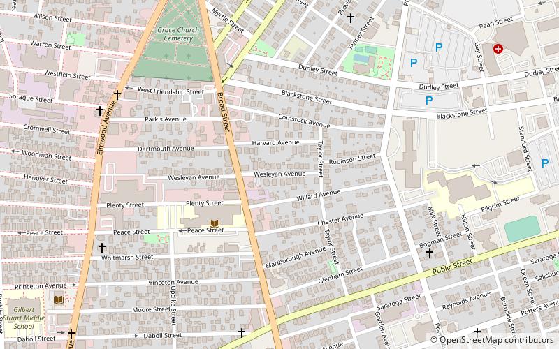
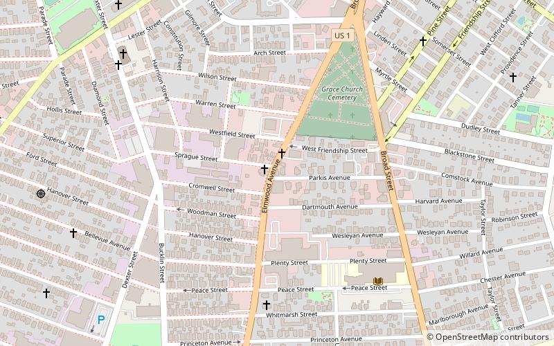
The Wesleyan Avenue Historic District is a residential historic district in the Elmwood section of Providence, Rhode Island. It includes 25 houses, on a one-block section of Wesleyan Avenue between Taylor and Broad Streets, with a few of them on the two end streets. They are large two-plus story wood-frame houses, set on modest lot, all of which were built between 1875 and 1900. The houses are in a diversity of styles popular at that time, including Second Empire, Stick style, and Queen Anne. The district includes what is one of Providence's finest Stick style houses, the Samuel Darling House at 53 Wesleyan Avenue. It was built in 1885, and displays a wealth of applied wood work, decorative shingling, and intricately carved porch details. ()
Upper South ProvidenceProvidence
- Bus
 Bus
Bus
- Calculate routeEddy and Borden 18 min walk
- Calculate routeDorrance and Pine 29 min walk
- Calculate routeKennedy Plaza Intermodal Transportation Center 31 min walk


Frequently Asked Questions (FAQ)
Which popular attractions are close to Wesleyan Avenue Historic District?
How to get to Wesleyan Avenue Historic District by public transport?
Bus
- Eddy and Borden • Lines: 3, 3A, 3B (18 min walk)
- Dorrance and Pine • Lines: 1, 3, 3A, 3B, 62 (29 min walk)