Prestonia, Louisville

Map
Facts and practical information
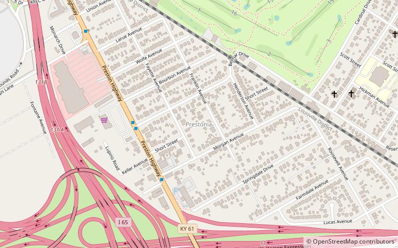
Prestonia is a neighborhood five miles southeast of downtown Louisville, Kentucky, U.S. Its boundaries are Preston Highway, Interstate 65, Interstate 264 and the Norfolk Southern Railway tracks. Many of Prestonia's streets are named after Kentucky counties. It was probably named for the local highway, which was in turn named after early Louisville landowner Col. William Preston. ()
Coordinates: 38°11'41"N, 85°43'37"W
Address
South Side (Prestonia)Louisville
ContactAdd
Social media
Add
Day trips
Prestonia – popular in the area (distance from the attraction)
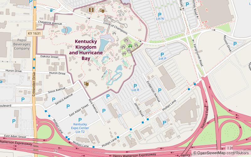
Nearby attractions include: Kentucky Kingdom, Louisville Zoo, T3 Roller Coaster, Freedom Hall.
Frequently Asked Questions (FAQ)
How to get to Prestonia by public transport?
The nearest stations to Prestonia:
Bus
Bus
- Preston / Belmar • Lines: 45XNorthBroadway, 45XNorthMain, 45XSouth (4 min walk)


