Yale Avenue Historic District, Wakefield
Map

Map

Facts and practical information
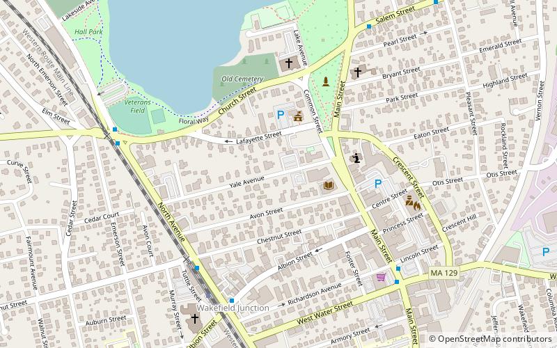
The Yale Avenue Historic District is a residential historic district near the center of Wakefield, Massachusetts. It encompasses eight residential properties, all but one of which were developed in the 1860s and 1870s, after the arrival of the railroad in town. These properties were built primarily for Boston businessmen, and mark the start of Wakefield's transition to a suburb. ()
Coordinates: 42°30'18"N, 71°4'24"W
Address
Wakefield (Downtown Wakefield)Wakefield
ContactAdd
Social media
Add
Day trips
Yale Avenue Historic District – popular in the area (distance from the attraction)
Nearby attractions include: Church–Lafayette Streets Historic District, Meeting House of the Second Parish in Woburn, Lucius Beebe Memorial Library, House at 40 Crescent Street.
Frequently Asked Questions (FAQ)
Which popular attractions are close to Yale Avenue Historic District?
Nearby attractions include House at 25 Avon Street, Wakefield (2 min walk), Lucius Beebe Memorial Library, Wakefield (3 min walk), Common District, Wakefield (3 min walk), Church–Lafayette Streets Historic District, Wakefield (5 min walk).
How to get to Yale Avenue Historic District by public transport?
The nearest stations to Yale Avenue Historic District:
Train
Train
- Wakefield (6 min walk)


