Cape Flattery Light, Tatoosh Island

Gallery (1)
Map
Map
Facts and practical information
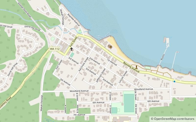
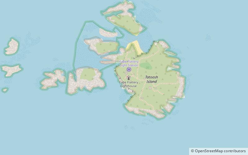
The Cape Flattery Light is a historic lighthouse structure located at the entrance to the Strait of Juan de Fuca near Neah Bay, Clallam County, in the U.S. state of Washington, within the Makah Indian Reservation. The deactivated lighthouse sits on Tatoosh Island, which is named after Chief Tatooche of the Makah Tribe. It is the northwesternmost lighthouse on the West Coast of the contiguous United States. Although closed to the public, it can be viewed from Cape Flattery via a short 30-minute walk. ()
Day trips
Cape Flattery Light – popular in the area (distance from the attraction)
Nearby attractions include: Makah Museum.