State Street Historic District, Rochester
Map

Map

Facts and practical information
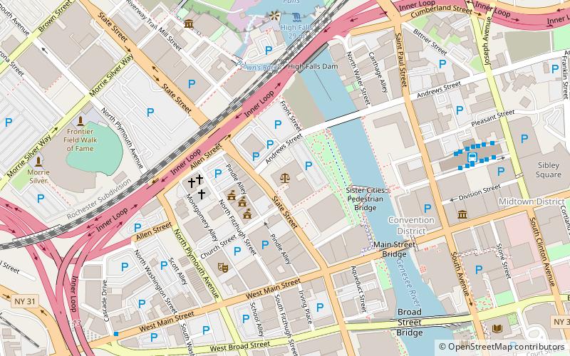
State Street Historic District is a national historic district located at Rochester in Monroe County, New York. The district consists of the last surviving continuous row of 19th-century masonry commercial buildings within Rochester's Inner Loop. They were developed between 1825 and 1900 and the row forms an unpretentious unbroken wall of 12 buildings. The oldest building is located at 141-147 State Street and was constructed about 1825. ()
Coordinates: 43°9'28"N, 77°36'50"W
Address
100 State StreetSouthwest Rochester (Downtown Rochester)Rochester
Contact
+1 585-613-4000
Social media
Add
Day trips
State Street Historic District – popular in the area (distance from the attraction)
Nearby attractions include: Frontier Field, Blue Cross Arena, High Falls, Capelli Sport Stadium.
Frequently Asked Questions (FAQ)
Which popular attractions are close to State Street Historic District?
Nearby attractions include Federal Building, Rochester (1 min walk), Downtown United Presbyterian Church, Rochester (4 min walk), Reynolds Arcade, Rochester (4 min walk), Hochstein School of Music & Dance, Rochester (5 min walk).
How to get to State Street Historic District by public transport?
The nearest stations to State Street Historic District:
Bus
Train
Bus
- RTS Transit Center (8 min walk)
- Bus Terminal (12 min walk)
Train
- Rochester (13 min walk)


