Boston Tea Party, Boston
Map
Facts and practical information
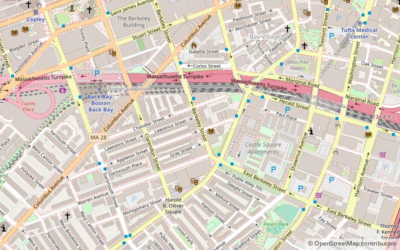
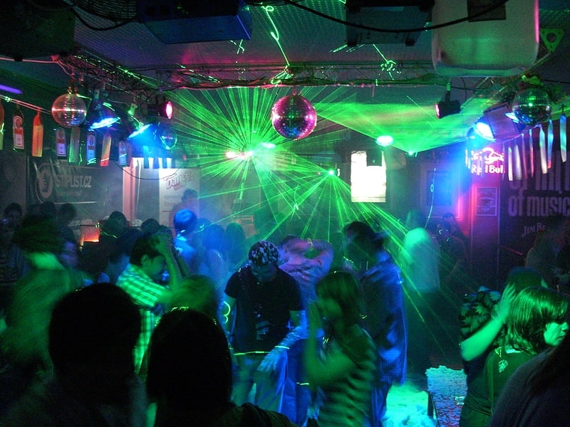
The Boston Tea Party was a concert venue located first at 53 Berkeley Street in the South End neighborhood of Boston, Massachusetts, and later relocated to 15 Lansdowne Street in the former site of competitor, the Ark, in Boston's Kenmore Square neighborhood, across the street from Fenway Park. It operated from 1967 to the end of 1970. Its closing was due in part to the increasing cost of hiring bands who were playing more and more at large outdoor festivals and arena rock concerts. ()
Coordinates: 42°20'47"N, 71°4'14"W
Address
South EndBoston
ContactAdd
Social media
Add
Getting there by public transportation
Public transportation stops near this location
- Metro
- Bus
- Light rail
- Train
 Metro
Metro
- Calculate routeBerkeley St @ Chandler St 2 min walk
- Calculate routeE Berkeley @ Tremont St 3 min walk
- Calculate routeHerald St @ Tremont St 4 min walk
- Calculate routeBack Bay 6 min walk
- Calculate routeTufts Medical Center 11 min walk
- Calculate routeChinatown 15 min walk
- Calculate routeBroadway 19 min walk
- Calculate routeBoston Back Bay 6 min walk
- Calculate routeBoston South Station 23 min walk
- Calculate routeRuggles 30 min walk
- Calculate routeArlington 10 min walk
- Calculate routeCopley 12 min walk
- Calculate routePrudential 14 min walk
- Calculate routeBoylston 15 min walk
Maps MBTA Subway
MBTA SubwayDay trips
Boston Tea Party – popular in the area (distance from the attraction)
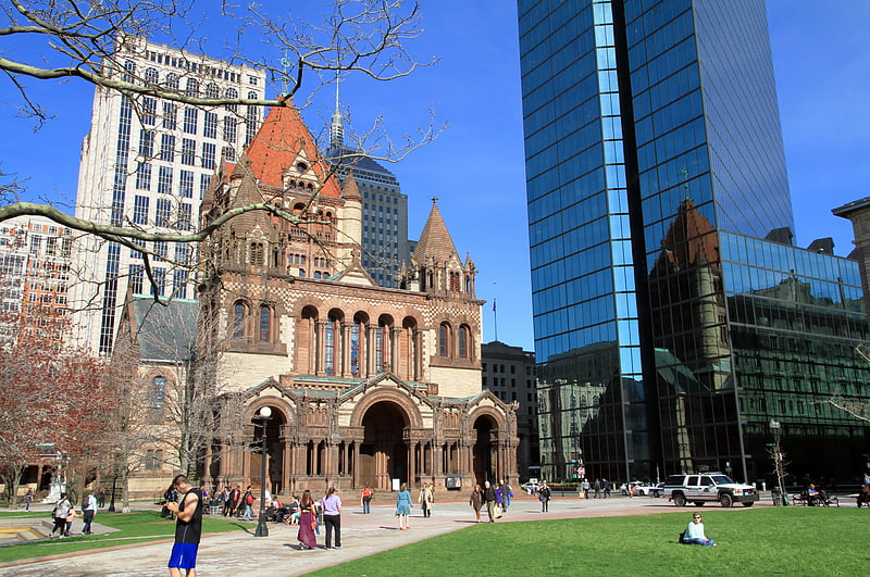
Nearby attractions include: Copley Place, Club Café, Trinity Church, Copley Square.


Frequently Asked Questions (FAQ)
Which popular attractions are close to Boston Tea Party?
Nearby attractions include Castle Square Theatre, Boston (3 min walk), Cyclorama Building, Boston (4 min walk), Boston Center for the Arts, Boston (4 min walk), 101 Clarendon Street, Boston (5 min walk).
How to get to Boston Tea Party by public transport?
The nearest stations to Boston Tea Party:
Bus
Metro
Train
Light rail
Bus
- Berkeley St @ Chandler St • Lines: 9 (2 min walk)
- E Berkeley @ Tremont St • Lines: 9 (3 min walk)
Metro
- Back Bay • Lines: Orange (6 min walk)
- Tufts Medical Center • Lines: Orange (11 min walk)
Train
- Boston Back Bay (6 min walk)
- Boston South Station (23 min walk)
Light rail
- Arlington • Lines: B, C, D, E (10 min walk)
- Copley • Lines: B, C, D, E (12 min walk)