South Central Falls Historic District, Pawtucket
Map
Facts and practical information
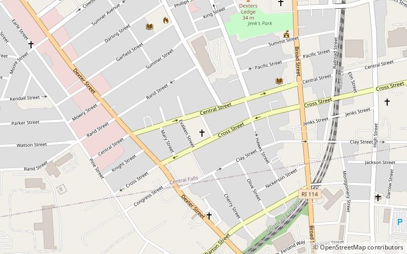
The South Central Falls Historic District is a historic district in Central Falls, Rhode Island. It is a predominantly residential area, densely populated, which was developed most heavily in the late 19th century. It is bounded roughly by Broad Street to the east, the Pawtucket city line to the south, Dexter Street to the west, and Rand Street and Jenks Park to the north. It has 377 contributing buildings, most of which were built before 1920. The district was added to the National Register of Historic Places in 1991. ()
Coordinates: 41°53'4"N, 71°23'28"W
Address
Central FallsPawtucket
ContactAdd
Social media
Add
Day trips


Frequently Asked Questions (FAQ)
Which popular attractions are close to South Central Falls Historic District?
Nearby attractions include Central Street School, Pawtucket (4 min walk), E.A. Burnham House, Pawtucket (5 min walk), Adams Public Library, Pawtucket (5 min walk), Jenks Park & Cogswell Tower, Pawtucket (6 min walk).