Pawtucket Falls, Pawtucket
Map
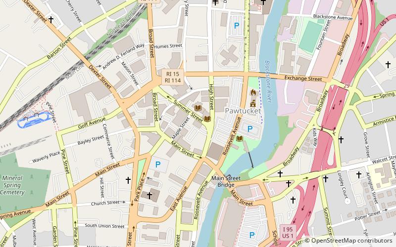
Map

Facts and practical information
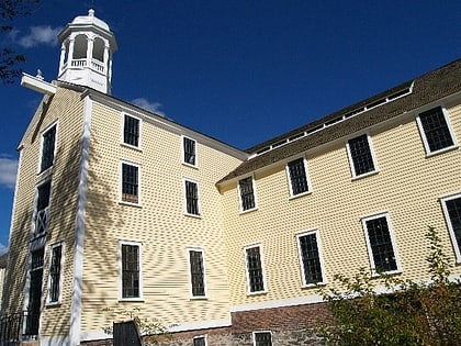
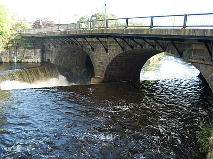
Pawtucket Falls is a waterfall on the Blackstone River in Pawtucket, Rhode Island. The falls are located a half mile upstream from where the Blackstone flows into the Seekonk River. The falls provided power for Samuel Slater’s cotton spinning mill, which was built in 1793 and is said to have been responsible for starting the Industrial Revolution in America. ()
Coordinates: 41°52'42"N, 71°23'4"W
Address
Downtown PawtucketPawtucket
ContactAdd
Social media
Add
Day trips
Pawtucket Falls – popular in the area (distance from the attraction)
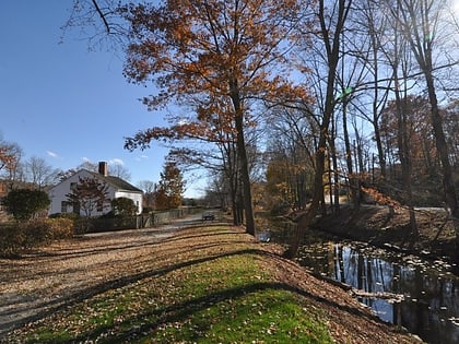
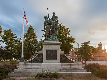
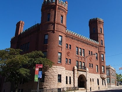
Nearby attractions include: McCoy Stadium, Slater Mill Historic Site, Pawtucket Congregational Church, Blackstone River Valley National Historical Park.
Frequently Asked Questions (FAQ)
Which popular attractions are close to Pawtucket Falls?
Nearby attractions include Pawtucket Public Library, Pawtucket (1 min walk), Pawtucket Times Building, Pawtucket (2 min walk), Blackstone River Valley National Historical Park, Pawtucket (3 min walk), Slater Mill Historic Site, Pawtucket (4 min walk).


