OC&E Woods Line State Trail, Klamath Falls
Map

Map

Facts and practical information
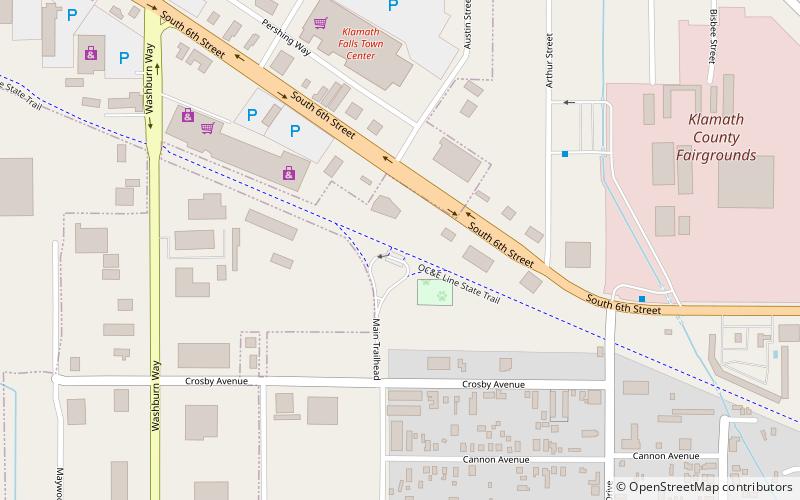
The OC&E Woods Line State Trail is a rail trail in Klamath and Lake counties in the U.S. state of Oregon. It is Oregon's longest state park. The trail follows the old OC&E and Weyerhaeuser railroads from Klamath Falls to Thompson Reservoir. Along its 105-mile length it passes through the communities of Olene, Sprague River, Dairy, Beatty, and Bly. ()
Elevation: 4094 ft a.s.l.Coordinates: 42°12'27"N, 121°45'7"W
Address
Klamath Falls
ContactAdd
Social media
Add
Day trips
OC&E Woods Line State Trail – popular in the area (distance from the attraction)
Nearby attractions include: Baldwin Hotel, Klamath Falls Veterans Memorial Park, The Ross Ragland Theater, Lake Ewauna.


