Flatiron District, New York City
Map
Gallery
Facts and practical information
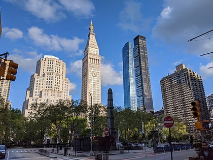
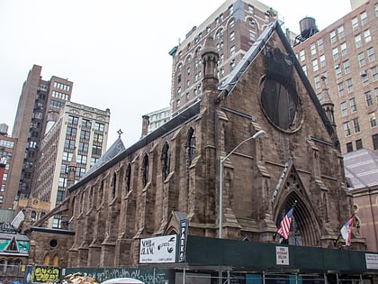
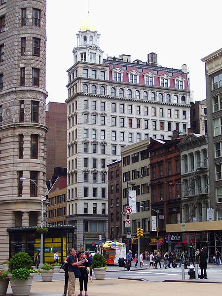
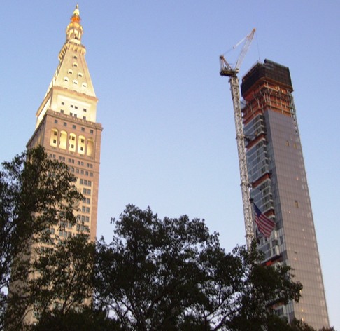
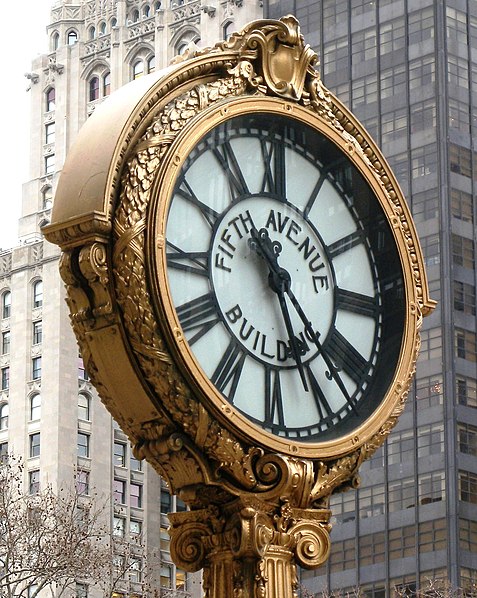
The Flatiron District is a neighborhood in the New York City borough of Manhattan, named after the Flatiron Building at 23rd Street, Broadway and Fifth Avenue. Generally, the Flatiron District is bounded by 14th Street, Union Square and Greenwich Village to the south; the Avenue of the Americas and Chelsea to the west; 23rd Street and Madison Square to the north; and Park Avenue South and Gramercy Park to the east. ()
Address
Midtown Manhattan (Flatiron District)New York City
ContactAdd
Social media
Add
Day trips
Flatiron District – popular in the area (distance from the attraction)
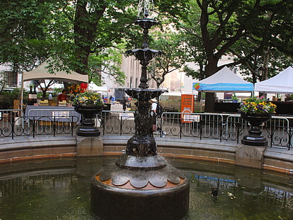
Nearby attractions include: Flatiron Building, Madison Square Park Fountain, Worth Square, The New York EDITION.
Frequently Asked Questions (FAQ)
Which popular attractions are close to Flatiron District?
Nearby attractions include Flatiron Building, New York City (1 min walk), Scribner Building, New York City (1 min walk), Madison Green, New York City (1 min walk), Statue of Roscoe Conkling, New York City (2 min walk).
How to get to Flatiron District by public transport?
The nearest stations to Flatiron District:
Bus
Metro
Train
Bus
- East 23rd Street/Broadway • Lines: M23 Sbs (2 min walk)
- West 23rd Street & 6th Avenue (4 min walk)
Metro
- 23rd Street • Lines: <6>, <F>, 4, 6, F, Hob–33, Jsq–33, JSQ–33 via HOB, M, N, Q, R, W (6 min walk)
Train
- New York Penn Station (18 min walk)
- Pennsylvania Station (20 min walk)



 Subway
 Manhattan Buses
