St. Paul–North Water Streets Historic District, Rochester
Map
Facts and practical information
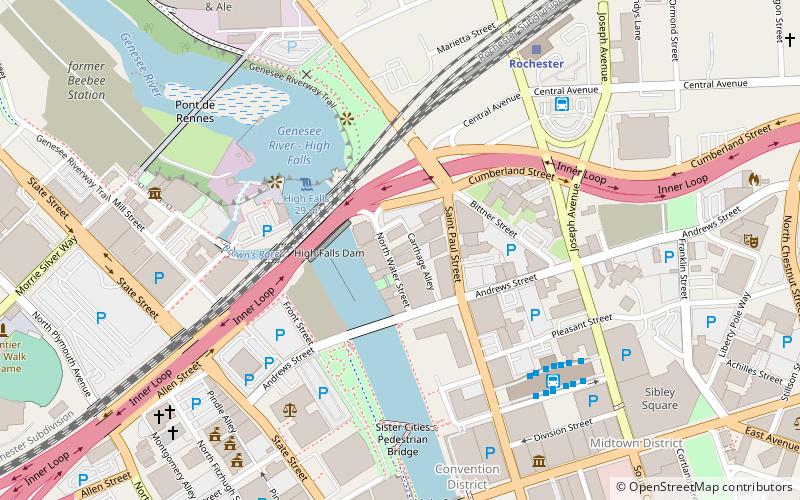
St. Paul–North Water Streets Historic District is a national historic district located at Rochester in Monroe County, New York. The district consists of a relatively intact cluster of 17 commercial, manufacturing, and warehouse structures. ()
Coordinates: 43°9'37"N, 77°36'41"W
Address
Southwest Rochester (Downtown Rochester)Rochester
ContactAdd
Social media
Add
Getting there by public transportation
Public transportation stops near this location
- Bus
- Train
 Bus
Bus
- Calculate routeRTS Transit Center 6 min walk
- Calculate routeBus Terminal 7 min walk
- Calculate routeFlixBus Rochester 15 min walk
- Calculate routeRochester 7 min walk
Day trips
St. Paul–North Water Streets Historic District – popular in the area (distance from the attraction)
Nearby attractions include: Frontier Field, Blue Cross Arena, High Falls, Main Street Armory.


Frequently Asked Questions (FAQ)
Which popular attractions are close to St. Paul–North Water Streets Historic District?
Nearby attractions include Andrews Street Bridge, Rochester (3 min walk), German United Evangelical Church Complex, Rochester (3 min walk), High Falls, Rochester (4 min walk), Our Lady of Victory Roman Catholic Church, Rochester (4 min walk).
How to get to St. Paul–North Water Streets Historic District by public transport?
The nearest stations to St. Paul–North Water Streets Historic District:
Bus
Train
Bus
- RTS Transit Center (6 min walk)
- Bus Terminal (7 min walk)
Train
- Rochester (7 min walk)