Sepulveda Boulevard, Los Angeles
Map
Gallery
Facts and practical information
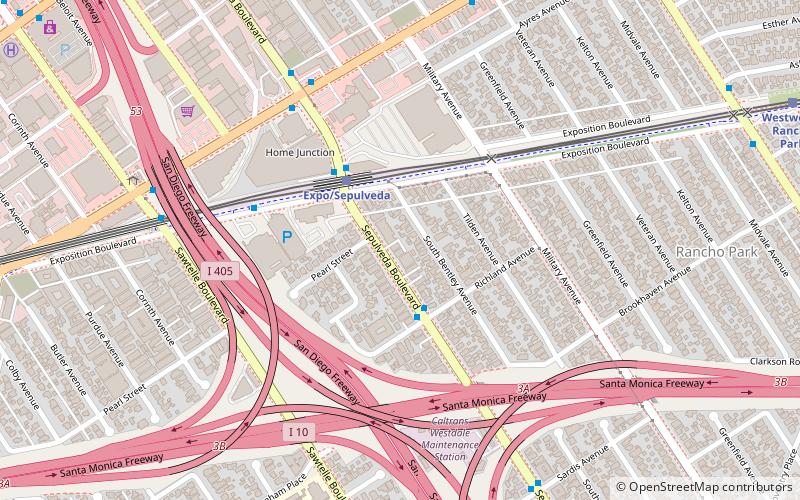
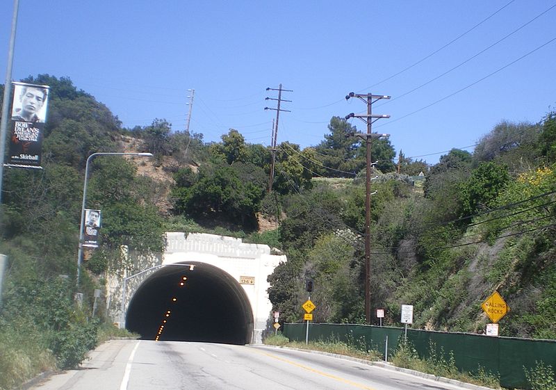
Sepulveda Boulevard is a major street and transportation corridor in the City of Los Angeles and several other cities in western Los Angeles County, California. The street parallels Interstate 405 for much of its route. Portions of Sepulveda Boulevard between Manhattan Beach and Los Angeles International Airport are designated as part of State Route 1. ()
Coordinates: 34°2'3"N, 118°25'59"W
Address
West Los Angeles (Westside)Los Angeles
ContactAdd
Social media
Add
Day trips
Sepulveda Boulevard – popular in the area (distance from the attraction)
Nearby attractions include: Rancho Park Golf Course, Westside Pavilion, Nuart Theatre, Westwood Boulevard.
Frequently Asked Questions (FAQ)
Which popular attractions are close to Sepulveda Boulevard?
Nearby attractions include Rancho Park, Los Angeles (18 min walk), Westside, Los Angeles (22 min walk).
How to get to Sepulveda Boulevard by public transport?
The nearest stations to Sepulveda Boulevard:
Bus
Light rail
Bus
- Sepulveda & Richland • Lines: 6 (3 min walk)
- Sepulveda & Exposition • Lines: 17, 6, Rapid 6 (4 min walk)
Light rail
- Expo/Sepulveda • Lines: E (3 min walk)
- Westwood/Rancho Park • Lines: E (14 min walk)

 Metro & Regional Rail