Walnut Park East, Ferguson
Map

Map

Facts and practical information
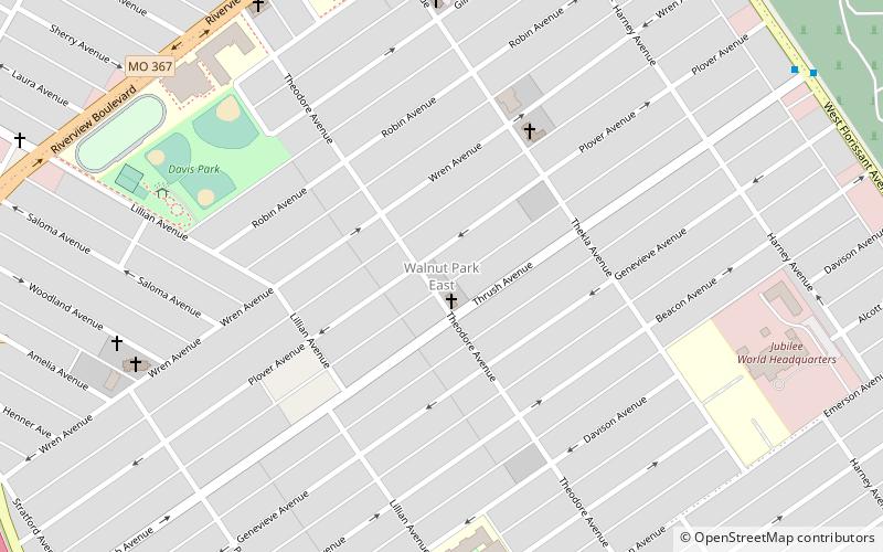
Walnut Park East is a neighborhood of St. Louis, Missouri. Walnut Park East is one of several neighborhoods in northwest St. Louis. Its borders are West Florissant Avenue to the northeast, Emerson Avenue to the southeast, Interstate 70 to the southwest and west, and Riverview Boulevard to the northwest. ()
Coordinates: 38°41'52"N, 90°15'5"W
Day trips
Walnut Park East – popular in the area (distance from the attraction)
Nearby attractions include: Bellefontaine Cemetery, Calvary Cemetery, Mark Twain/I-70 Industrial, Mark Twain.
Frequently Asked Questions (FAQ)
Which popular attractions are close to Walnut Park East?
Nearby attractions include Walnut Park West, Ferguson (16 min walk), Calvary Cemetery, St. Louis (21 min walk), Mark Twain, St. Louis (21 min walk).


