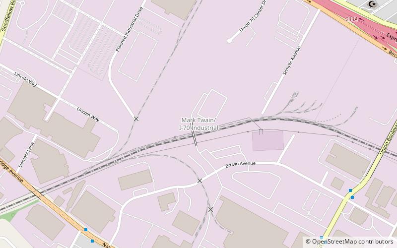
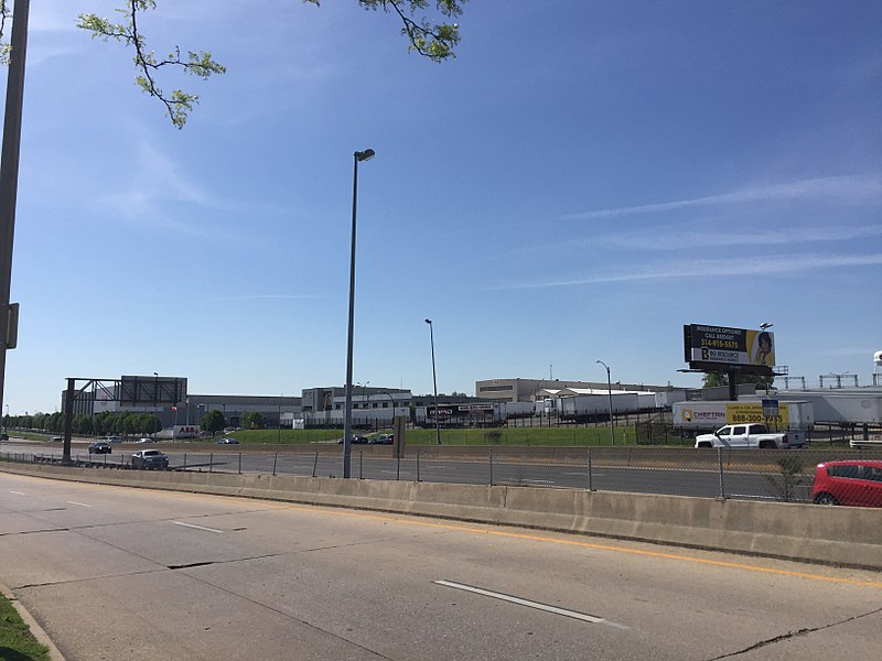
Mark Twain/I-70 Industrial, St. Louis

Gallery (2)
Map
Map
Gallery
Facts and practical information
Mark Twain/I-70 Industrial is a neighborhood of St. Louis, Missouri. It is bound by I-70 to the north, North Kingshighway to the east, Natural Bridge Road to the south, and the city limit to the west. ()
Coordinates: 38°41'11"N, 90°15'41"W
Day trips


