Overbrook Farms, Philadelphia
Map
Gallery
Facts and practical information
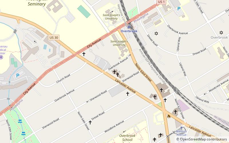
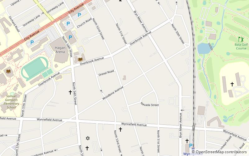
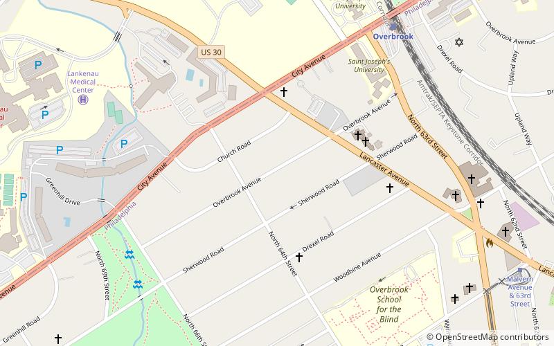
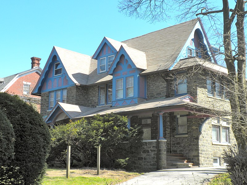
Overbrook Farms is a neighborhood on the western edge of the West Philadelphia section of Philadelphia, Pennsylvania, United States. It is roughly bounded by City Avenue, 58th Street, Woodbine Avenue, and 66th Street at Morris Park. The neighborhood is bisected by Lancaster Avenue and the original Pennsylvania Railroad "main line". Today the rail line is used by both Amtrak passenger service and SEPTA's commuter Paoli/Thorndale Line. ()
Coordinates: 39°59'11"N, 75°15'13"W
Address
West Philadelphia (Overbrook)Philadelphia
ContactAdd
Social media
Add
Day trips
Overbrook Farms – popular in the area (distance from the attraction)
Nearby attractions include: City Line Avenue Bridge, African Episcopal Church of St. Thomas, Arboretum of the Barnes Foundation, Bawa Muhaiyaddeen Fellowship.
Frequently Asked Questions (FAQ)
Which popular attractions are close to Overbrook Farms?
Nearby attractions include African Episcopal Church of St. Thomas, Philadelphia (4 min walk), Overbrook, Philadelphia (6 min walk), City Line Avenue Bridge, Philadelphia (8 min walk), Dimner Beeber Middle School, Philadelphia (16 min walk).
How to get to Overbrook Farms by public transport?
The nearest stations to Overbrook Farms:
Train
Bus
Tram
Train
- Overbrook (8 min walk)
- Merion (20 min walk)
Bus
- Malvern Avenue & 63rd Street (11 min walk)
Tram
- Malvern Avenue & 63rd Street • Lines: 10 (11 min walk)
- 63rd Street & Jefferson Street • Lines: 10 (18 min walk)

 SEPTA Regional Rail
