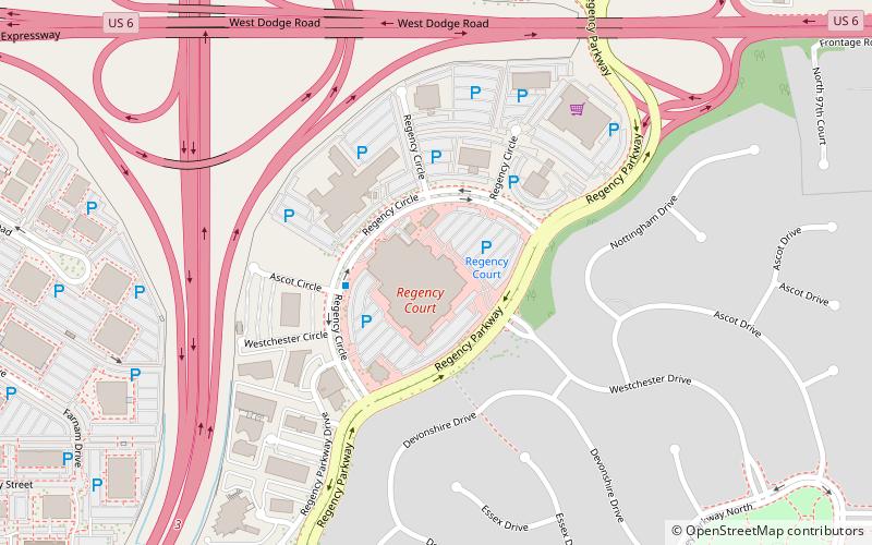
Regency, Omaha
Map
Facts and practical information
Regency is a neighborhood in Omaha, Nebraska. Bound by West Dodge Road, South 96th Street, Pacific Street and Interstate 680, the development was the first major real estate development funded by Mutual of Omaha. ()
Coordinates: 41°15'35"N, 96°4'17"W
Address
Central OmahaOmaha
ContactAdd
Social media
Add
Getting there by public transportation
Public transportation stops near this location
- Bus
 Bus
Bus
- Calculate routeWestroads Transit Station 16 min walk
- Calculate routeBay 4-Route 4 16 min walk
- Calculate routeFuture ORBT Westroads Station 16 min walk
Day trips


Frequently Asked Questions (FAQ)
How to get to Regency by public transport?
The nearest stations to Regency:
Bus
Bus
- Westroads Transit Station (16 min walk)
- Bay 4-Route 4 • Lines: 4 (16 min walk)