North Capitol Street, Washington D.C.
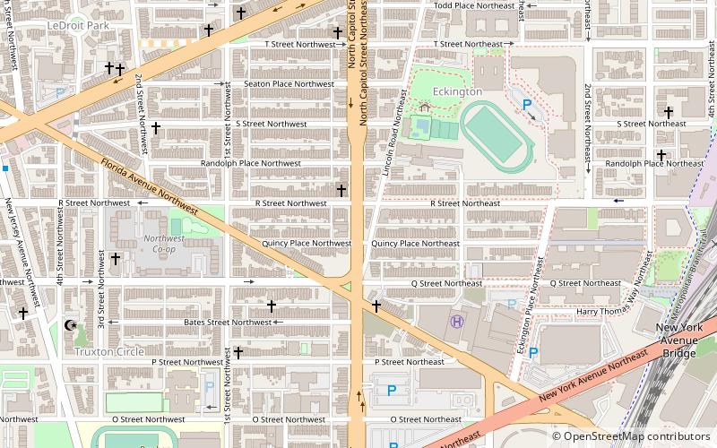
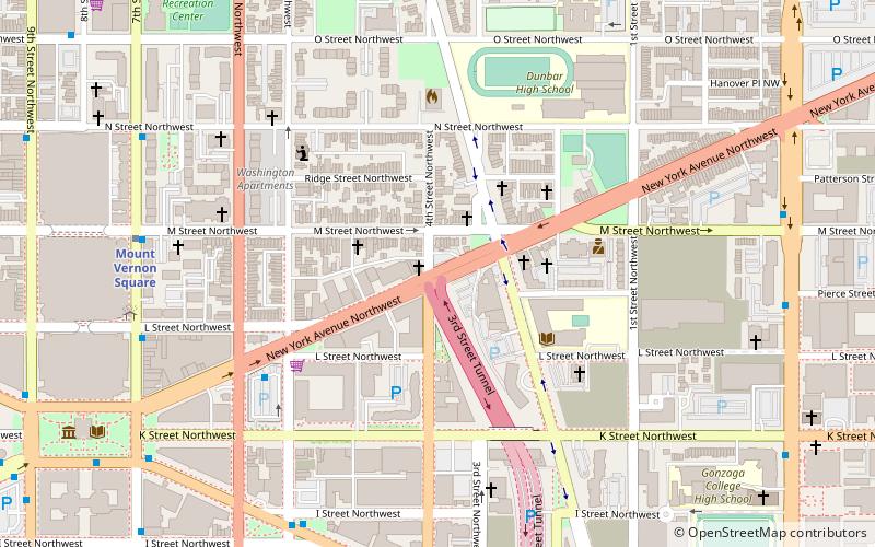
Map
Facts and practical information
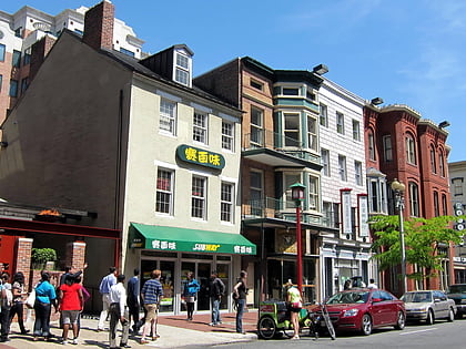
North Capitol Street is a street in Washington, D.C. that separates the Northwest and Northeast quadrants of the city. ()
Coordinates: 38°54'44"N, 77°0'32"W
Address
Northeast Washington (Eckington)Washington D.C.
ContactAdd
Social media
Add
Day trips
North Capitol Street – popular in the area (distance from the attraction)
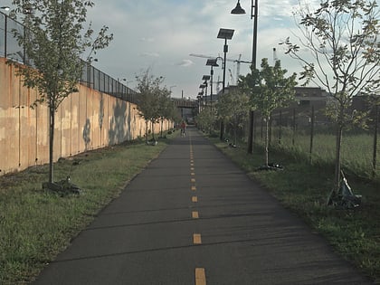
Nearby attractions include: H Street, Florida Avenue Baptist Church, Howard Theatre, Metropolitan Branch Trail.
Frequently Asked Questions (FAQ)
Which popular attractions are close to North Capitol Street?
Nearby attractions include John Mercer Langston School, Washington D.C. (5 min walk), Friendship Armstrong Academy, Washington D.C. (9 min walk), Bloomingdale, Washington D.C. (9 min walk), Truxton Circle, Washington D.C. (10 min walk).
How to get to North Capitol Street by public transport?
The nearest stations to North Capitol Street:
Metro
Tram
Bus
Train
Metro
- NoMa–Gallaudet U • Lines: Rd (13 min walk)
- Shaw–Howard University • Lines: Gr, Yl (18 min walk)
Tram
- Union Station • Lines: H Street/Benning Road Streetcar (22 min walk)
- H Street & 8th Street Northeast • Lines: H Street/Benning Road Streetcar (29 min walk)
Bus
- E • Lines: 83, 86 (23 min walk)
- F • Lines: B8, B9, G8 (23 min walk)
Train
- Washington Union Station (25 min walk)
