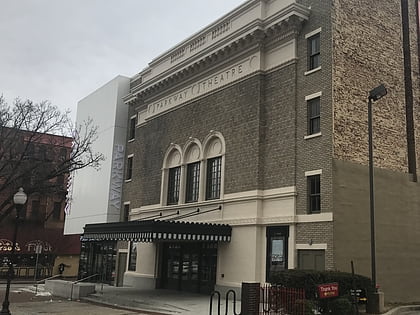
Barclay, Baltimore
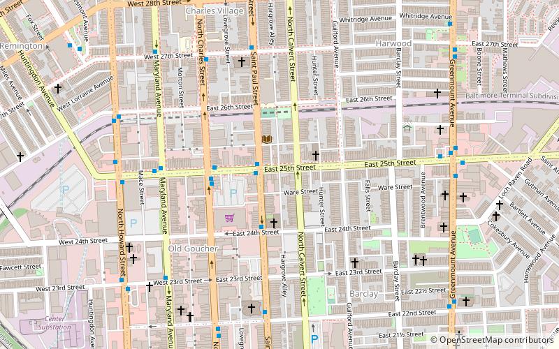
Map
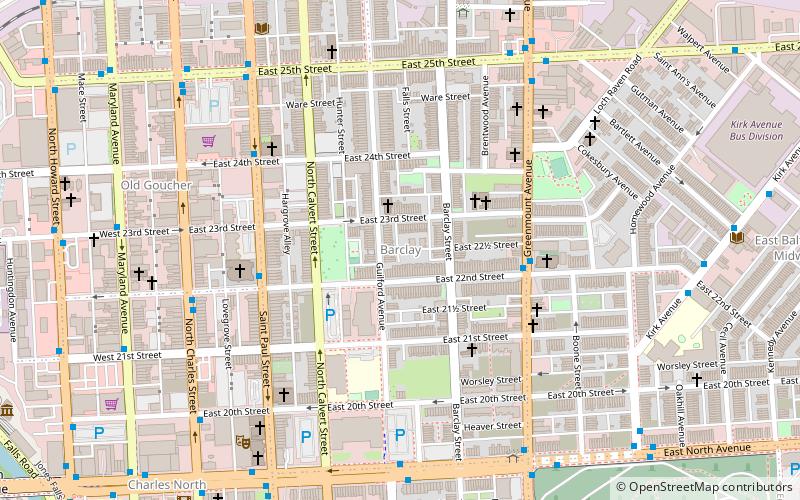
Map

Facts and practical information
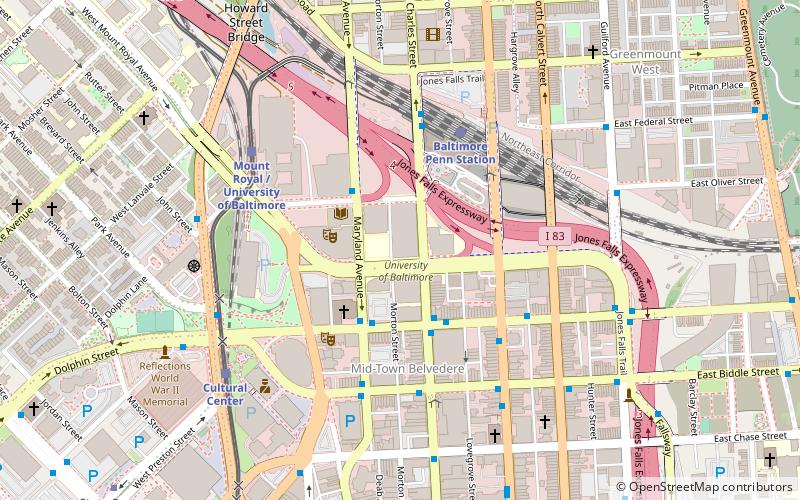
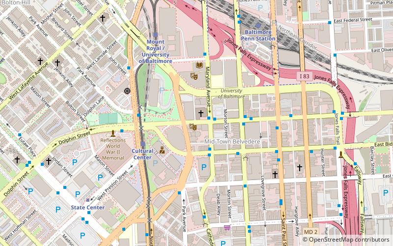
Barclay is a neighborhood in the center of Baltimore City. Its boundaries, as defined by the City Planning Office, are marked by North Avenue, Greenmount Avenue, Saint Paul and 25th Streets. The neighborhood lies north of Greenmount West, south of Charles Village, west of East Baltimore Midway, and east of Charles North and Old Goucher. The boundary between the Northern and Eastern police districts runs through the community, cutting it roughly in half. ()
Coordinates: 39°18'54"N, 76°36'44"W
Address
Northern Baltimore (Barclay)Baltimore
ContactAdd
Social media
Add
Day trips
Barclay – popular in the area (distance from the attraction)
Nearby attractions include: Green Mount Cemetery, Lyric Performing Arts Center, University of Baltimore, Lovely Lane United Methodist Church.
Frequently Asked Questions (FAQ)
Which popular attractions are close to Barclay?
Nearby attractions include Lovely Lane United Methodist Church, Baltimore (5 min walk), St. Paul Street-Calvert Street, Baltimore (7 min walk), St. Mark's Lutheran, Baltimore (7 min walk), Old Goucher, Baltimore (8 min walk).
How to get to Barclay by public transport?
The nearest stations to Barclay:
Bus
Train
Light rail
Metro
Bus
- Greenmount Avenue & 22nd Street Southbound • Lines: 52, Rd (4 min walk)
- Saint Paul Street & 22nd Street Southbound • Lines: 95, Sv (5 min walk)
Train
- Baltimore Penn Station (14 min walk)
Light rail
- Baltimore Penn Station • Lines: Lr (14 min walk)
- North Avenue • Lines: Lr (16 min walk)
Metro
- State Center/Cultural Center • Lines: M (28 min walk)
- Johns Hopkins Hospital • Lines: M (38 min walk)


