Ashview Heights, Atlanta
Map
Facts and practical information
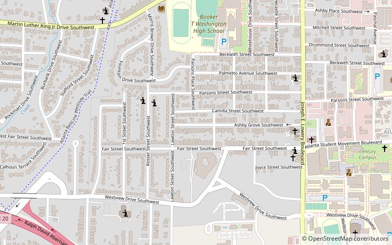
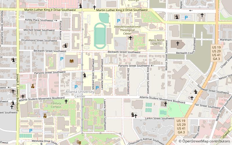
Ashview Heights is a historic intown neighborhood located in southwest Atlanta, Georgia, United States. Established in the 1920s, it was one of the first planned African-American middle-class communities in Atlanta. The neighborhood is served by Booker T. Washington High School, which is Atlanta’s first African American high school and is listed on the National Register of Historic Places. The neighborhood is in close proximity to the Atlanta University Center. ()
Coordinates: 33°45'0"N, 84°25'20"W
Address
Intown South (Ashview Heights)Atlanta
ContactAdd
Social media
Add
Getting there by public transportation
Public transportation stops near this location
- Metro
- Bus
 Metro
Metro
- Calculate routeAshby 14 min walk
- Calculate routeWest End 28 min walk
- Calculate routeVine City 30 min walk
- Calculate routeWest End Station 28 min walk
Day trips


Frequently Asked Questions (FAQ)
Which popular attractions are close to Ashview Heights?
Nearby attractions include Just Us, Atlanta (6 min walk), Mozley Park, Atlanta (7 min walk), Omenala Griot Afrocentric Teaching Museum, Atlanta (9 min walk), Robert W. Woodruff Library, Atlanta (13 min walk).
How to get to Ashview Heights by public transport?
The nearest stations to Ashview Heights:
Metro
Bus
Metro
- Ashby • Lines: Blue, Green (14 min walk)
- West End • Lines: Gold, Red (28 min walk)
Bus
- West End Station • Lines: 832 (28 min walk)