Burr Block, Lincoln
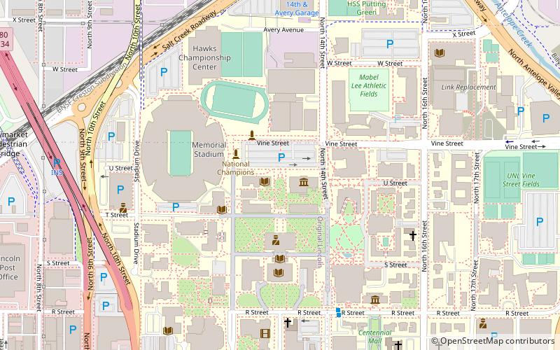
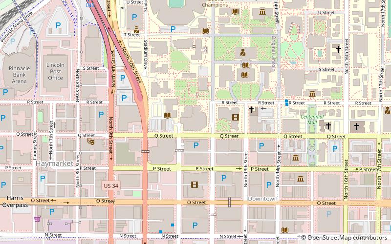
Map
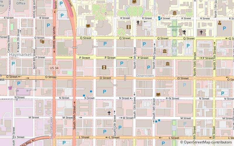
Map

Facts and practical information
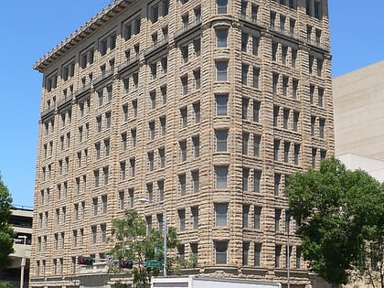
The Burr Block, at 1206 O St. in Lincoln, Nebraska, is a long-salient building which was built in 1887 and later expanded to become a skyscraper. It was listed on the National Register of Historic Places in 1979. ()
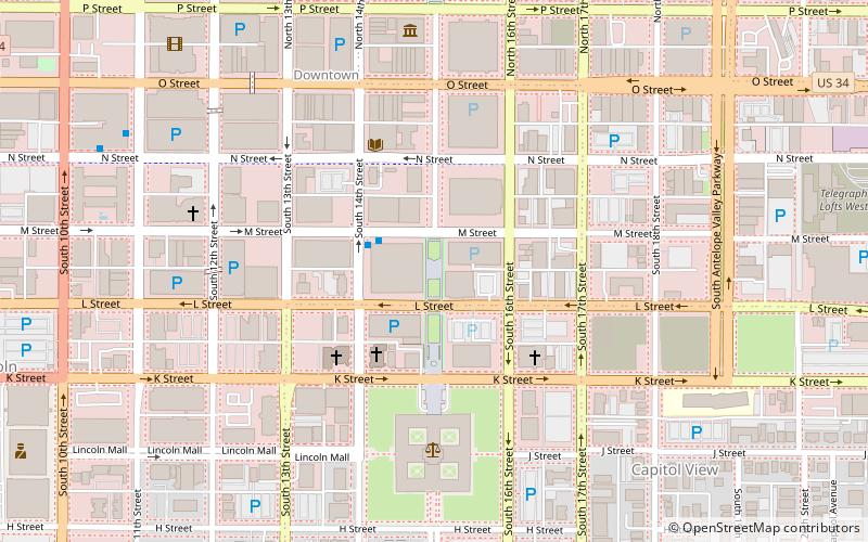
Coordinates: 40°48'50"N, 96°42'14"W
Address
Downtown LincolnLincoln
ContactAdd
Social media
Add
Day trips
Burr Block – popular in the area (distance from the attraction)
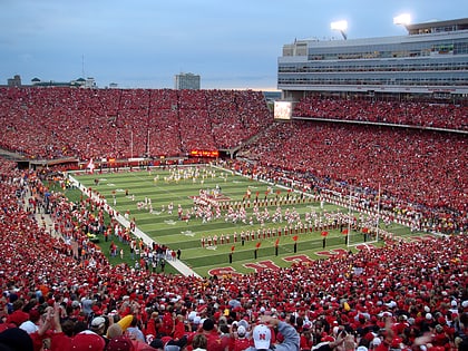
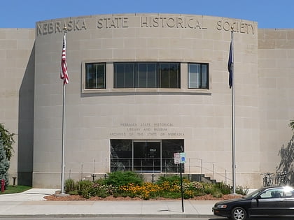
Nearby attractions include: Memorial Stadium, Pinnacle Bank Arena, Nebraska State Historical Society Building, Pershing Center.
Frequently Asked Questions (FAQ)
Which popular attractions are close to Burr Block?
Nearby attractions include Lincoln Liberty Life Insurance Building, Lincoln (1 min walk), Hotel Capital, Lincoln (3 min walk), Gold and Company Store Building, Lincoln (3 min walk), Stuart Building, Lincoln (3 min walk).
How to get to Burr Block by public transport?
The nearest stations to Burr Block:
Bus
Train
Bus
- Gold's- 11th Street • Lines: 13 (4 min walk)
Train
- Lincoln (14 min walk)
