East Knoxville, Knoxville

Map
Facts and practical information
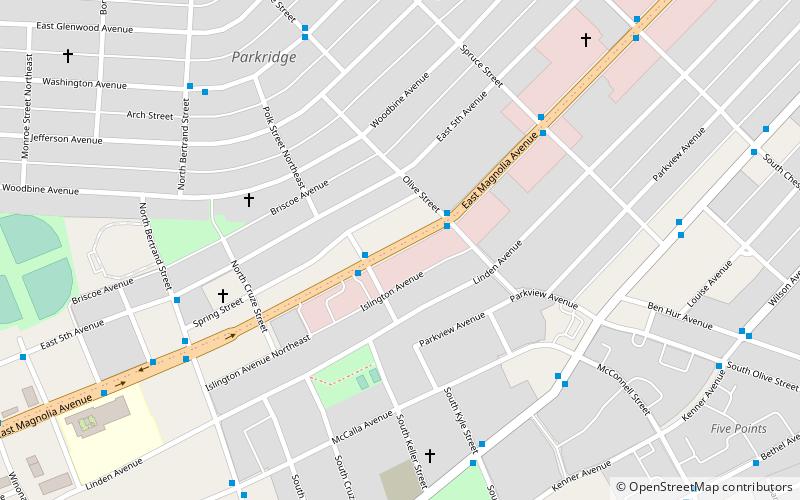
East Knoxville is the section of Knoxville, Tennessee, USA, that lies east of the city's downtown area. It is concentrated along Magnolia Avenue, Martin Luther King, Jr. Boulevard, Dandridge Avenue, and adjacent streets, and includes the neighborhoods of Holston Hills, Parkridge, Chilhowee Park, Morningside, Five Points, and Burlington. East Knoxville is home to Zoo Knoxville, the Knoxville Botanical Garden and Arboretum, and Chilhowee Park. ()
Coordinates: 35°58'52"N, 83°54'5"W
Address
East Knoxville (Parkridge)Knoxville
ContactAdd
Social media
Add
Day trips
East Knoxville – popular in the area (distance from the attraction)
Nearby attractions include: Knoxville Civic Coliseum, Colonel John Williams House, Old City Hall, The Burwell.
Frequently Asked Questions (FAQ)
Which popular attractions are close to East Knoxville?
Nearby attractions include Beck Cultural Exchange Center, Knoxville (16 min walk), Mabry-Hazen House, Knoxville (17 min walk).
How to get to East Knoxville by public transport?
The nearest stations to East Knoxville:
Bus
Train
Bus
- Magnolia WB @ Kyle • Lines: 31 (2 min walk)
Train
- Jackson Terminal (34 min walk)


