Mary of Nazareth Parish, Sea Gate
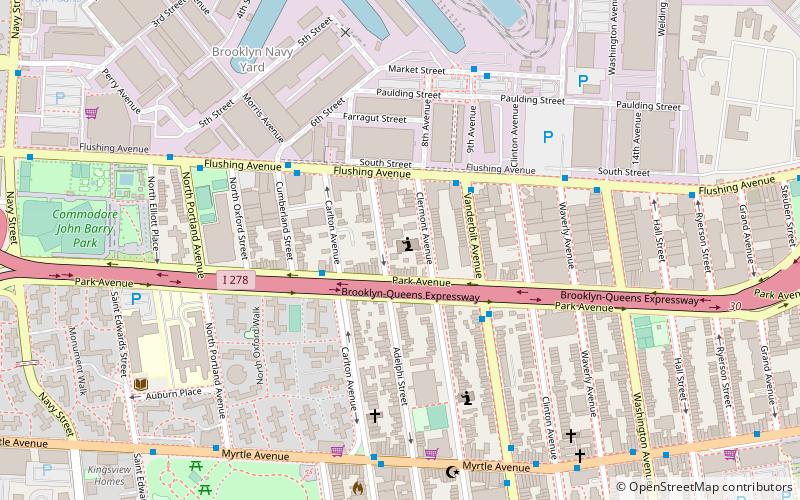
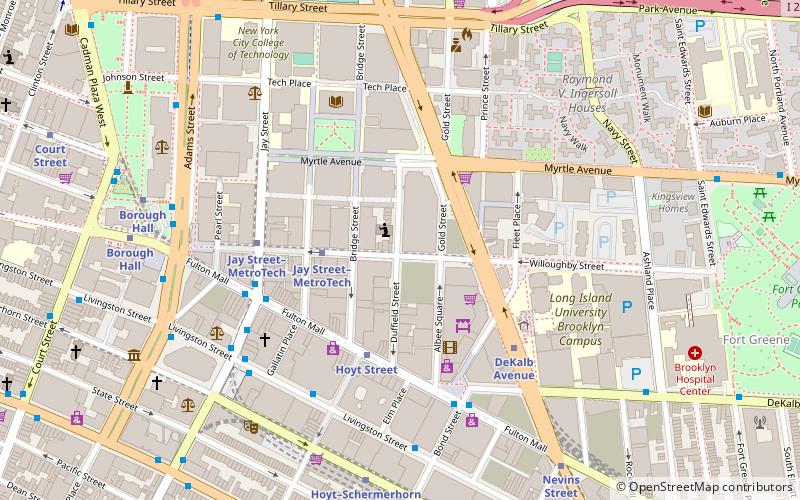
Map

Map

Facts and practical information
Mary of Nazareth Parish was formed in 2008 with the merger of Sacred Heart Parish and the Parish of St. Michael and St. Edward. ()
Coordinates: 40°41'48"N, 73°58'20"W
Address
Northwestern Brooklyn (Fort Greene)Sea Gate
ContactAdd
Social media
Add
Day trips
Mary of Nazareth Parish – popular in the area (distance from the attraction)
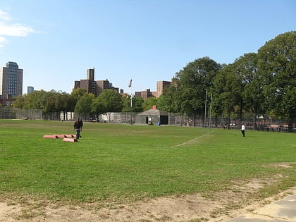
Nearby attractions include: Quarters A, Golconda Playground, Commodore Barry Park, Abolitionist Place.
Frequently Asked Questions (FAQ)
Which popular attractions are close to Mary of Nazareth Parish?
Nearby attractions include Wallabout Historic District, Sea Gate (5 min walk), Rockwood Chocolate Factory Historic District, Sea Gate (6 min walk), Lefferts-Laidlaw House, Sea Gate (7 min walk), Wallabout, Sea Gate (7 min walk).
How to get to Mary of Nazareth Parish by public transport?
The nearest stations to Mary of Nazareth Parish:
Bus
Metro
Train
Bus
- Vanderbilt Avenue & Flushing Avenue • Lines: B69 (3 min walk)
- Flushing Avenue & Cumberland Street • Lines: B57, B69 (4 min walk)
Metro
- Clinton–Washington Avenues • Lines: G (17 min walk)
- DeKalb Avenue • Lines: B, D, N, Q, R (17 min walk)
Train
- Atlantic Terminal (23 min walk)


