Miller's Landing Park, Bend

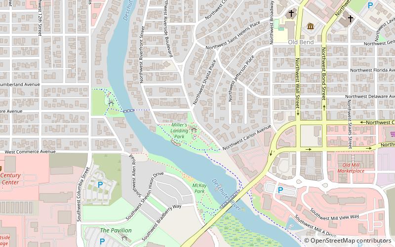
Map
Facts and practical information
Miller's Landing Park is a 4.7-acre park in Bend, Oregon, in the United States. It features river access and part of the Deschutes River Trail. ()
Elevation: 3622 ft a.s.l.Coordinates: 44°3'8"N, 121°19'19"W
Address
Old BendBend
ContactAdd
Social media
Add
Day trips
Miller's Landing Park – popular in the area (distance from the attraction)
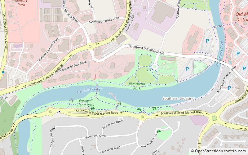
Nearby attractions include: Old Mill District, Drake Park, Bend Whitewater Park, Riverbend Park.
Frequently Asked Questions (FAQ)
Which popular attractions are close to Miller's Landing Park?
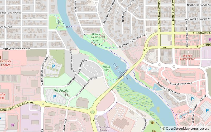
Nearby attractions include McKay Park, Bend (4 min walk), Bend Whitewater Park, Bend (4 min walk), Trinity Episcopal Church, Bend (8 min walk), Thomas McCann House, Bend (9 min walk).
How to get to Miller's Landing Park by public transport?
The nearest stations to Miller's Landing Park:
Bus
Bus
- Bend/Lapine School District (25 min walk)
- Hawthorne Station (29 min walk)


