Coney Island Creek Park, Sea Gate
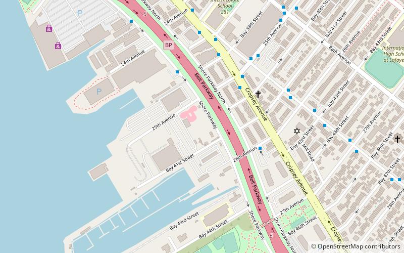
Map
Gallery
Facts and practical information
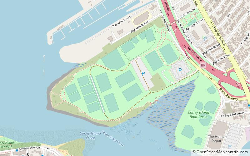
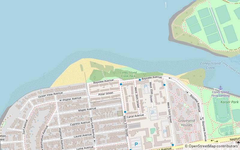
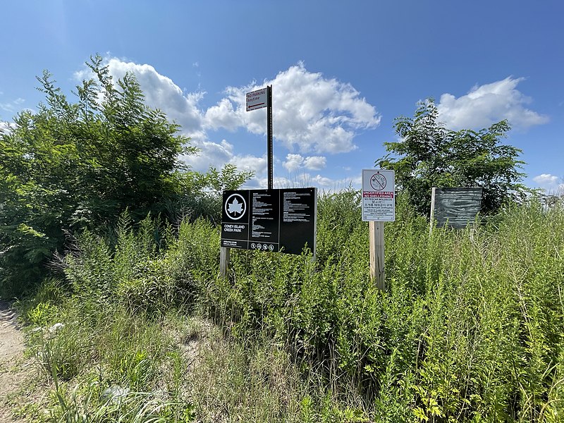
Coney Island Creek Park is a public park on the northwestern coast of Coney Island in Brooklyn, New York City. It abuts Coney Island Creek, Gravesend Bay, and Kaiser Park and is across Coney Island Creek from Calvert Vaux Park and Six Diamonds Park. ()
Elevation: 3 ft a.s.l.Coordinates: 40°34'52"N, 74°0'14"W
Address
Southern Brooklyn (Coney Island)Sea Gate
ContactAdd
Social media
Add
Day trips
Coney Island Creek Park – popular in the area (distance from the attraction)
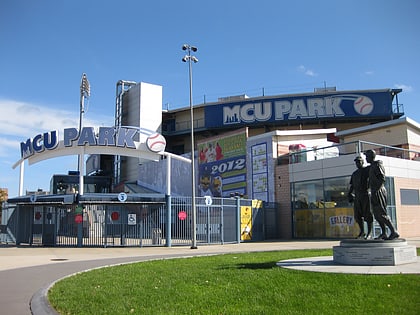
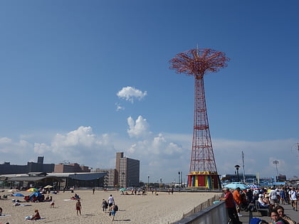
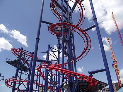
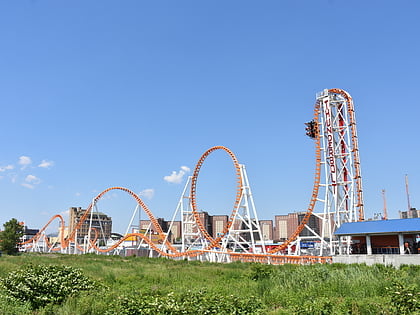
Nearby attractions include: Maimonides Park, Parachute Jump, Soarin' Eagle, Thunderbolt.
Frequently Asked Questions (FAQ)
Which popular attractions are close to Coney Island Creek Park?
Nearby attractions include Coney Island Light, New York City (14 min walk), Calvert Vaux Park, New York City (14 min walk), Adventurer's Park, New York City (21 min walk).
How to get to Coney Island Creek Park by public transport?
The nearest stations to Coney Island Creek Park:
Metro
Metro
- Bay 50th Street • Lines: D (31 min walk)
- Coney Island–Stillwell Avenue • Lines: <F>, F (31 min walk)
