Fifth Avenue and North High Historic District, Columbus
Map
Map

Facts and practical information
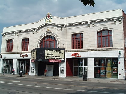
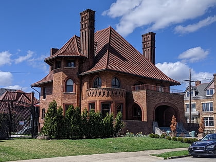
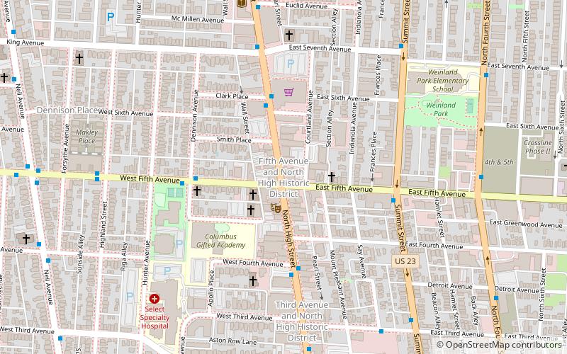
The Fifth Avenue and North High Historic District is a historic district in the Short North neighborhood of Columbus, Ohio. It was listed on the National Register of Historic Places in 1990. The site consists of 24 buildings, including three that are non-contributing. Most are two-to-three story commercial brick buildings built between 1888 and 1930. ()
Coordinates: 39°59'14"N, 83°0'20"W
Address
University District (Weinland Park)Columbus
ContactAdd
Social media
Add
Day trips
Fifth Avenue and North High Historic District – popular in the area (distance from the attraction)
Nearby attractions include: Taft Coliseum, North Market, Pizzuti Collection, Wexner Center for the Arts.
Frequently Asked Questions (FAQ)
Which popular attractions are close to Fifth Avenue and North High Historic District?
Nearby attractions include Third Avenue and North High Historic District, Columbus (6 min walk), Weinland Park, Columbus (11 min walk), Orton Memorial Laboratory, Columbus (11 min walk), Near Northside Historic District, Columbus (11 min walk).
How to get to Fifth Avenue and North High Historic District by public transport?
The nearest stations to Fifth Avenue and North High Historic District:
Bus
Bus
- N High St & E 5th Ave • Lines: 1, 102, 2 (1 min walk)

