Country Club District, Kansas City
Facts and practical information
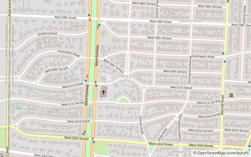
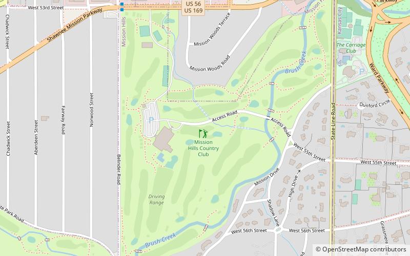
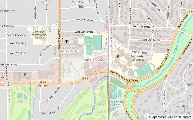
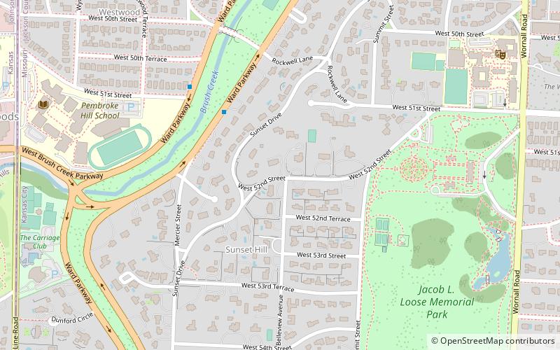
The Country Club District is the name of a group of neighborhoods comprising a historic upscale residential district in Kansas City, developed by noted real estate developer J.C. Nichols. The district was developed in stages between 1906 and 1950, and today is home to approximately 60,000 and includes such well-known Kansas City neighborhoods as Sunset Hill and Brookside in Missouri, Mission Hills, Fairway, and the oldest parts of Prairie Village in Kansas, making it the largest planned community built by a single developer in the United States. Ward Parkway, a wide, manicured boulevard, traverses the district running south from the Country Club Plaza, the first suburban shopping district in the United States. ()
Midtown (Country Club District)Kansas City
- Bus
 Bus
Bus
- Calculate routeBrookside at 62nd 13 min walk
- Calculate routeBrookside at 63rd 14 min walk
- Calculate route63rd at Brookside 14 min walk


Frequently Asked Questions (FAQ)
Which popular attractions are close to Country Club District?
How to get to Country Club District by public transport?
Bus
- Brookside at 62nd • Lines: Mmax (13 min walk)
- Brookside at 63rd • Lines: 63, Mmax (14 min walk)